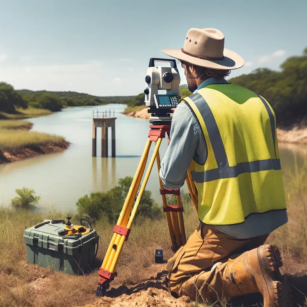
Accurate Surveys Speed Up Houston Closings
"Texas, often referred to as the Lone Star State, is a thriving hub for economic growth and innovation, making it an attractive destination for commercial real estate investment." - Chris Evans
How Accurate Land Surveys Speed Up Commercial Closings in Houston
In Houston’s commercial real estate market, time is money. Every delay — whether from title disputes, lender requirements, or permitting issues — can cost thousands and jeopardize deals.
One of the most overlooked factors in speeding up closings?
Accurate, certified land surveys.
From ALTA surveys and floodplain reports to boundary and as-built documentation, precise survey data streamlines communication between buyers, lenders, title companies, and engineers. It ensures everyone is working with the same facts — and that deals close on time.
Here’s how accurate surveys help speed up commercial closings across Houston.
1. They Eliminate Title Discrepancies Early
The Problem
Title commitments often reference old plats, outdated deeds, or missing easements. Without updated survey data, these discrepancies can stall underwriting and legal review.
The Solution
An ALTA/NSPS Land Title Survey provides certified data that aligns the legal description with the physical property. This allows title companies to issue policies faster — often cutting weeks off the process.
Result: fewer last-minute exceptions, faster title clearance.
2. They Help Lenders Approve Financing Sooner
The Problem
Lenders won’t release funds until they’re certain of the property’s value and boundaries. Inaccurate or incomplete surveys can trigger underwriting delays or conditional approvals.
The Solution
Certified ALTA and as-built surveys give lenders the verified information they need to finalize loan packages — from building footprints to floodplain elevations.
Result: clean documentation, fewer revisions, and faster funding approvals.
3. They Prevent Permit and Compliance Delays
The Problem
Houston’s permitting departments require accurate elevation, drainage, and site layout data. Without updated topographic or floodplain surveys, developers face time-consuming resubmissions.
The Solution
Topographic and floodplain surveys provide compliant, current data that engineers and architects can submit with confidence.
Result: fewer permit rejections and faster project starts.
4. They Simplify Multi-Party Communication
The Problem
Commercial closings involve multiple stakeholders — buyers, sellers, engineers, title companies, and lenders. Misaligned property data causes confusion and repeated reviews.
The Solution
A single certified survey becomes the shared source of truth. Everyone references the same map, the same coordinates, and the same encumbrance details.
Result: smoother communication, reduced legal back-and-forth, and fewer missed deadlines.
5. They Reduce Post-Closing Risks (and Rework)
The Problem
If boundaries, easements, or encroachments are discovered after closing, new owners face legal exposure — and lenders risk collateral issues.
The Solution
Accurate pre-closing surveys identify potential conflicts in advance, allowing resolutions before documents are signed.
Result: fewer disputes, faster insurance issuance, and a stronger long-term investment.
Why Speed Matters More in Houston
Houston’s market is uniquely complex:
High transaction volume means competition for closing slots.
Frequent replatting slows title verification.
Floodplain mapping requires elevation verification for nearly every property.
Dense redevelopment adds layers of easement and zoning review.
Accurate surveys cut through this complexity, reducing the number of revisions, exceptions, and corrections needed before a deal can close.
The True Cost of Inaccurate Surveys
An inaccurate or incomplete survey might delay closing by:
Extending title review by several weeks.
Triggering lender re-underwriting.
Causing missed rate-lock deadlines.
Forcing re-recording of legal descriptions.
Each of these adds real costs in interest, labor, and opportunity loss — all of which far exceed the price of a proper survey.
The Future of Fast, Accurate Surveys in Houston
Drone LiDAR and GPS mapping reduce turnaround times.
3D GIS integration links surveys to zoning, flood, and title systems.
AI-assisted verification automates boundary and easement review.
Cloud-based survey delivery ensures all stakeholders access data instantly.
These innovations are transforming how quickly developers and title companies can move from contract to closing.
In Houston’s high-stakes commercial real estate world, accurate surveys don’t just protect investments — they accelerate them.
By resolving title conflicts, supporting lender approvals, and simplifying communication, certified surveys save time, money, and stress for everyone involved in the closing process.
The message is clear:
Before any Houston commercial deal moves forward, make sure your survey is accurate, current, and certified — because the fastest closings start with the best data.