Revolutionizing Land Surveying: The Impact of Drones
“Traditional surveying methods can be labor-intensive and time-consuming” - Fred Lawton
Revolutionizing Land Surveying: The Impact of Drones
The field of land surveying has seen a significant transformation with the introduction of drone technology. Drones, or unmanned aerial vehicles (UAVs), offer a modern approach to capturing detailed geographical data, making surveying faster, more efficient, and often more comprehensive than traditional methods. Here’s how drones are reshaping the landscape of land surveying.
Enhanced Data Collection
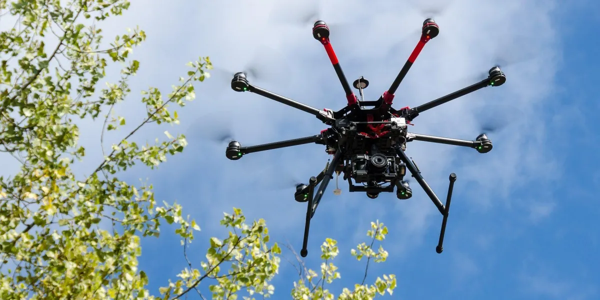
Drones can be equipped with high-resolution cameras, GPS, and LiDAR technology, allowing them to capture precise data from above. This aerial view not only provides a broader perspective but also accesses areas that are difficult or dangerous for human surveyors to reach. The quality of data collected through these means is invaluable in creating accurate maps and models.
Time and Cost Efficiency
One of the most significant advantages of using drones in land surveying is the reduction in time and cost. Traditional surveying methods can be labor-intensive and time-consuming, especially over large or challenging terrains. Drones can cover these areas much quicker, drastically reducing the man-hours required and, consequently, the costs involved.
Safer Surveying Methods
Surveying certain terrains can be hazardous. Steep inclines, unstable ground, and remote locations pose risks to human surveyors. Drones eliminate the need for physical presence in these areas, ensuring safety and reducing the likelihood of work-related injuries.
Environmental Impact
Using drones helps minimize the environmental footprint of surveying activities. Since UAVs can operate above the land without making physical contact, they avoid disrupting the surveyed environment. This is particularly beneficial in sensitive ecological zones where minimal disturbance is crucial.
Real-Time Data and Reporting
Drones not only collect data but can also transmit it in real-time. This capability allows for immediate analysis and decision-making, which is particularly useful in dynamic construction projects or in areas prone to natural disasters. Real-time data enhances the responsiveness of project managers to changing conditions on the ground.
Future Prospects
As drone technology continues to advance, its applications in land surveying are likely to grow even more sophisticated. Improvements in battery life, data processing speeds, and sensor accuracy will further enhance the capabilities of drones, making them indispensable tools in the surveyor’s arsenal.
South Texas Surveying, recognizing these advantages, has incorporated drone technology into its surveying practices. By adopting this cutting-edge technology, we ensure that our clients receive the most accurate and comprehensive data, helping them make informed decisions about their properties and projects.
Drones are more than just a technological novelty; they represent a leap forward in how land surveying is conducted. With each flight, they're not only mapping land but also paving the way for the future of the surveying industry.
