Elevate Your Fort Bend Projects with Topographic Expertise
“These surveys offer invaluable insights into the natural and man-made features of the land, facilitating smarter, more sustainable project planning.” - Christopher Evans
Elevating Fort Bend Projects Through
Expert Topographic Surveys
Topographic surveys are essential in shaping the landscape of urban development, particularly in areas experiencing rapid growth like Fort Bend County. These surveys offer invaluable insights into the natural and man-made features of the land, facilitating smarter, more sustainable project planning. This blog delves into the importance of topographic expertise in elevating Fort Bend's development projects, from residential communities to commercial complexes.
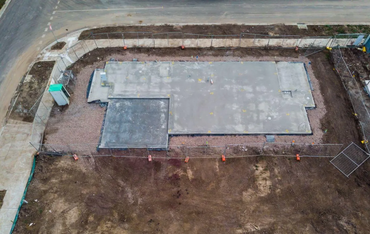
The Critical Role of Topographic Surveys in Development
Topographic surveys serve as the foundational layer for any substantial development project. They provide detailed information about the terrain, including elevation points, ground contours, and the presence of existing structures, trees, water bodies, and other critical features. This data is crucial for architects, engineers, and planners to make informed decisions that align with both the environmental context and the project’s goals.
Benefits of Topographic Surveys for Fort Bend Developments:
Informed Land Use Decisions: Understanding the topography helps developers choose the best use of a particular piece of land. It informs decisions on building placement, landscaping, and infrastructure development, optimizing the use of natural features and minimizing environmental impact.
Risk Mitigation: Topographic surveys help identify potential risks related to elevation and drainage, which are critical in flood-prone areas like Fort Bend. Proper planning based on accurate topographic data can significantly reduce the risk of flood damage and ensure compliance with local zoning laws.
Cost Efficiency: By providing precise data on the land’s characteristics, topographic surveys help prevent costly mid-project design changes. Developers can plan and budget more effectively when they have a clear understanding of the terrain challenges they may face.
Technological Advances Enhancing Topographic Surveys
The field of topographic surveying has seen significant technological advancements. Tools like 3D laser scanning and aerial drones are now used to capture detailed and accurate data faster than ever before. These technologies allow for the creation of comprehensive 3D models of the terrain, which are invaluable in the planning and design phases of development.
South Texas Surveying’s Role in Fort Bend’s Growth
South Texas Surveying has been instrumental in providing topographic surveying services across Fort Bend County. Their expertise and use of cutting-edge technology ensure that developers have precise and reliable data to guide their projects. With a deep understanding of local regulations and a commitment to excellence, South Texas Surveying helps pave the way for successful and sustainable development in Fort Bend.
As Fort Bend County continues to grow and evolve, the role of expert topographic surveys becomes increasingly critical. These surveys not only enhance the efficiency and safety of development projects but also contribute to their success by ensuring that every aspect of the land is thoroughly understood and appropriately utilized. With the support of experienced professionals like those at South Texas Surveying, developers can confidently tackle complex projects, knowing that their groundwork is solid and their planning is sound.
