Industrial Site Surveys in Texas
"Texas, often referred to as the Lone Star State, is a thriving hub for economic growth and innovation, making it an attractive destination for commercial real estate investment." - Chris Evans
Industrial Facility Site Surveys: Building the Backbone of Texas Commerce
From massive e-commerce warehouses outside Houston to high-tech factories in Austin, industrial facilities are fueling Texas’s economy. But these projects can’t move forward without one critical step: a site survey that ensures the land is ready, suitable, and compliant for development.
Industrial facility site surveys provide the precise boundary, topographic, and infrastructure data needed to design and build factories, warehouses, and logistics centers. For developers, investors, and municipalities, these surveys reduce risks, accelerate permitting, and ensure that projects rise on solid ground.
In this blog, we’ll explore what industrial facility site surveys are, how they’re performed, why they’re essential, and how they’re shaping the future of commercial growth in Texas.
What Is an Industrial Facility Site Survey?
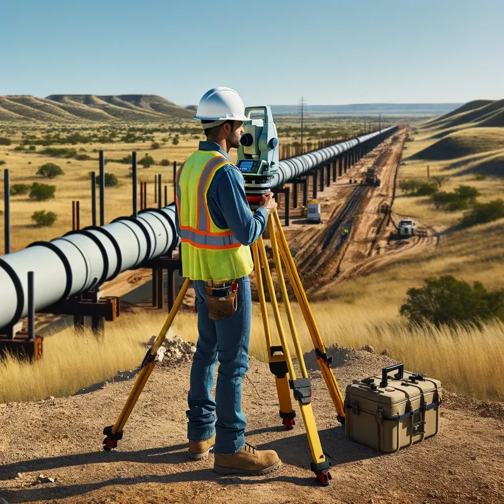
An industrial facility site survey is a comprehensive land survey tailored to the needs of large-scale industrial developments.
These surveys typically include:
Boundary mapping – defining ownership and easements.
Topographic surveys – measuring elevations, slopes, and terrain.
Utility surveys – locating water, sewer, gas, and power connections.
Site plan surveys – integrating proposed layouts with existing land features.
Environmental checks – wetlands, floodplains, or hazardous conditions.
Construction staking – guiding placement of foundations, walls, and utilities.
Why Industrial Facility Surveys Are Critical
1. Land Use and Zoning Compliance
Industrial facilities require special zoning approvals. Surveys confirm compliance with setback, lot coverage, and building restrictions.
2. Infrastructure Planning
Surveys identify where utilities and road connections need to be expanded for heavy industrial use.
3. Risk Mitigation
By documenting boundaries, flood zones, and environmental constraints, surveys prevent costly surprises.
4. Investor and Lender Confidence
Accurate surveys provide the documentation financiers require before funding multi-million-dollar facilities.
5. Efficient Construction
Survey data ensures warehouses, factories, and logistics hubs are laid out correctly the first time.
The Industrial Facility Survey Process
Step 1: Records Review
Surveyors analyze deeds, easements, plats, and zoning codes.
Step 2: Boundary and Topographic Work
Field crews use GPS, total stations, and drones to capture property limits and terrain data.
Step 3: Utility and Environmental Surveys
Existing infrastructure and environmental constraints are mapped.
Step 4: Design Integration
Survey data is merged with architectural and engineering plans.
Step 5: Construction Staking and Monitoring
Surveyors guide placement of structures and utilities throughout construction.
Technology in Industrial Facility Surveys
Drone LiDAR for mapping large sites quickly.
3D terrain modeling for grading and drainage planning.
GIS integration for managing utilities and logistics.
GPS/GNSS receivers for high-accuracy positioning.
Laser scanning for as-built documentation of large interiors.
Common Issues Identified in Industrial Site Surveys
Boundary encroachments that delay permits.
Floodplain overlaps requiring redesign.
Utility conflicts or inadequate access.
Soil and grading issues complicating foundation work.
Easement conflicts with adjacent properties.
Industrial Facility Surveys vs. Other Commercial Surveys
ALTA Surveys – Provide title-related details but not project-scale data.
Topographic Surveys – Focus on terrain without zoning or infrastructure integration.
Construction Surveys – Guide building layout but not feasibility.
Industrial Facility Surveys – Combine all these elements for large, complex sites.
Industrial Growth in Texas
Texas has become a hub for industrial facilities due to:
Houston’s logistics network connecting ports and rail lines.
Dallas-Fort Worth’s central U.S. location for distribution hubs.
Austin’s tech-driven manufacturing growth.
San Antonio’s blend of military and industrial development.
Each of these projects relies on industrial facility surveys to succeed.
Cost of Industrial Facility Surveys
Costs vary based on:
Size of the site (often hundreds of acres).
Technology required (drones, LiDAR, GIS).
Environmental and zoning considerations.
Frequency of construction monitoring.
Surveys for industrial facilities often represent a significant investment — but compared to the cost of project delays, they’re essential.
Why Developers Should Always Use Industrial Facility Site Surveys
Prevents zoning and permitting setbacks.
Protects against legal disputes over boundaries or easements.
Reduces costly redesigns and construction delays.
Provides confidence to investors and lenders.
Ensures efficient, safe construction of complex projects.
The Future of Industrial Facility Surveys
AI-powered logistics mapping to optimize site layouts.
Digital twin modeling of industrial parks.
Autonomous drone monitoring for active construction sites.
Integration with smart warehouse systems for operational efficiency.
Industrial facility site surveys are the cornerstone of Texas’s commercial and industrial expansion. They provide the precision, compliance, and risk management needed for large-scale factories, warehouses, and logistics hubs.
For developers, investors, and municipalities, these surveys are more than paperwork — they are the foundation of growth. In Texas’s booming economy, industrial facility site surveys ensure projects are safe, compliant, and built to last.
