Land Surveying for New Developments
“One of the primary roles of land surveying in new developments is to establish and verify the legal boundaries of the property.” - Fred Lawton
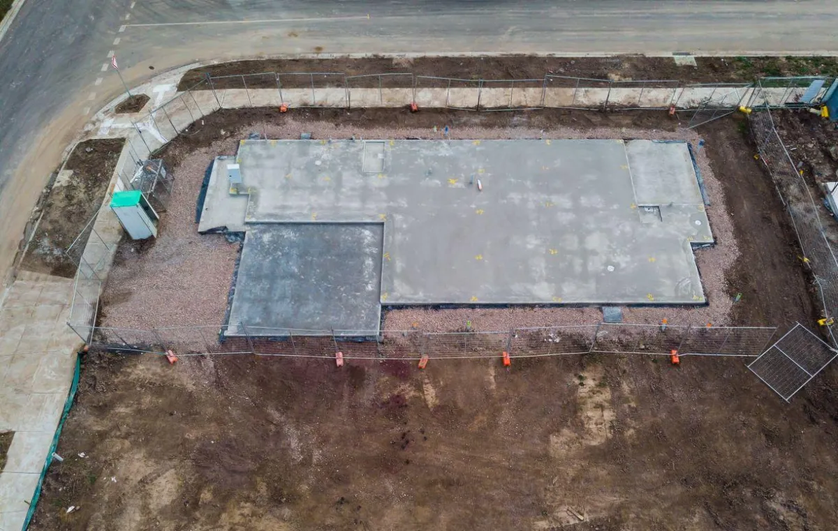
Land Surveying for New Developments: Why It’s Indispensable
When embarking on new development projects, whether residential, commercial, or industrial, the importance of accurate land surveying cannot be overstated. Land surveying is a crucial first step that ensures every subsequent aspect of the construction process is based on precise and reliable data. Here’s why professional land surveying should be at the heart of every new development project.
Establishing Legal Boundaries
One of the primary roles of land surveying in new developments is to establish and verify the legal boundaries of the property. This process prevents disputes with neighboring properties and ensures that the development complies with local zoning laws, building codes, and regulations. Having a clear understanding of property lines is crucial for securing building permits and for the future sale or leasing of the property.
Topographic Mapping
Before any construction begins, a topographic survey is essential to map the contours of the land and existing features on the site. This survey provides developers and architects with detailed information about the terrain, including gradients, elevations, and potential drainage issues. Such data is critical for planning the layout and infrastructure of the new development, optimizing land use, and ensuring that the construction is feasible and safe.
Infrastructure Planning
Land surveying aids in the planning and placement of infrastructure, such as roads, utilities, and public services. Surveyors work closely with civil engineers to map out the most effective and efficient locations for these essential services, taking into account the natural features of the land and the needs of the prospective development.
Environmental Considerations
In today’s environmentally conscious world, new developments must consider their impact on the surrounding ecosystem. Environmental surveys help developers understand the land’s ecological features and how to mitigate any negative impacts construction might have. This is crucial for meeting environmental standards and obtaining necessary approvals from governmental bodies.
Long-term Accuracy and Documentation
Accurate land surveys create a permanent record of the land’s features and boundaries at the time of the development. These documents are invaluable for future reference and can be essential in legal scenarios or when further development is considered. They also serve as a foundational tool for facility management, maintenance, and expansion.
How South Texas Surveying Can Help
South Texas Surveying specializes in providing comprehensive surveying services for new developments. Our expert team uses the latest technology and techniques to deliver precise and reliable surveys. We understand the complexities of new developments and are committed to ensuring that your project starts on the right foot, with all surveying needs handled efficiently and professionally.
