Optimizing Agricultural Land Management with Surveys
“Land surveys play a pivotal role in achieving these goals by providing accurate and detailed information about the land.” - Chris Evans
Improving Agricultural Land Management
with Precision Surveys
Agricultural land management in Texas is crucial for optimizing land use, improving irrigation planning, and enhancing crop yields. Land surveys play a pivotal role in achieving these goals by providing accurate and detailed information about the land. In this article, we will explore how land surveying can assist farmers and agricultural managers in Texas, highlighting the importance of precision surveys in agricultural success.
Optimizing Land Use in Texas Agriculture
Effective land use is essential for maximizing agricultural productivity. Land surveys help in identifying the best areas for different types of crops, considering factors such as soil composition, topography, and climate conditions. In regions like Waco and College Station, where agriculture is a significant part of the economy, optimizing land use can lead to increased yields and profitability.
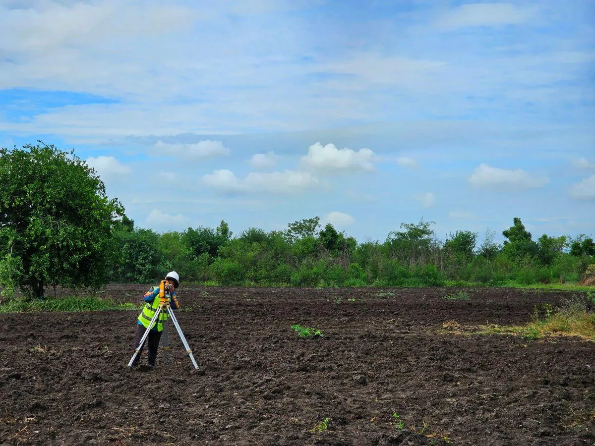
Soil Surveys: Understanding soil types and composition is vital for selecting suitable crops. Soil surveys provide detailed information about soil properties, helping farmers in cities like Lubbock and Abilene make informed decisions about crop rotation and soil management.
Topographical Surveys: These surveys offer insights into the land's physical features, such as elevation, slope, and drainage patterns. In areas like Tyler and Longview, where terrain varies, topographical surveys guide farmers in effective land use planning.
Enhancing Irrigation Planning
Efficient irrigation is critical for maintaining healthy crops and conserving water resources. Land surveys assist in designing effective irrigation systems by providing precise data on water flow and distribution. In drought-prone regions like Midland and Odessa, proper irrigation planning is essential for sustainable agriculture.
Hydrological Surveys: These surveys analyze water sources, drainage patterns, and potential flooding areas. Farmers in Brownsville and Harlingen benefit from hydrological surveys by optimizing their irrigation systems to ensure adequate water supply throughout the growing season.
Contour Mapping: Contour maps created from topographical surveys help in designing irrigation systems that follow the natural contours of the land. This approach is particularly beneficial in hilly areas like San Marcos and New Braunfels, where efficient water distribution is challenging.
Boosting Crop Yield in Texas
Increasing crop yield is a primary goal for farmers. Land surveys contribute to higher yields by providing critical information for precision farming techniques. In major agricultural hubs like Amarillo and Laredo, leveraging survey data can significantly enhance crop production.
Precision Farming: Utilizing GPS and GIS technologies, precision farming relies on detailed survey data to optimize planting, fertilization, and pest control. In cities like Corpus Christi and Beaumont, precision farming leads to higher efficiency and better crop yields.
Field Mapping: Field maps generated from surveys offer valuable insights into field boundaries, soil variability, and crop health. Farmers in McAllen and Edinburg use these maps to make data-driven decisions, ultimately improving productivity.
Land surveying is an indispensable tool for agricultural land management in Texas. From optimizing land use to enhancing irrigation planning and boosting crop yield, surveys provide the essential data needed for successful farming. Farmers and agricultural managers in Texas towns and cities can benefit greatly from incorporating precise land surveys into their operations. For expert surveying services tailored to agricultural needs, contact South Texas Surveying and ensure your farm's success.
