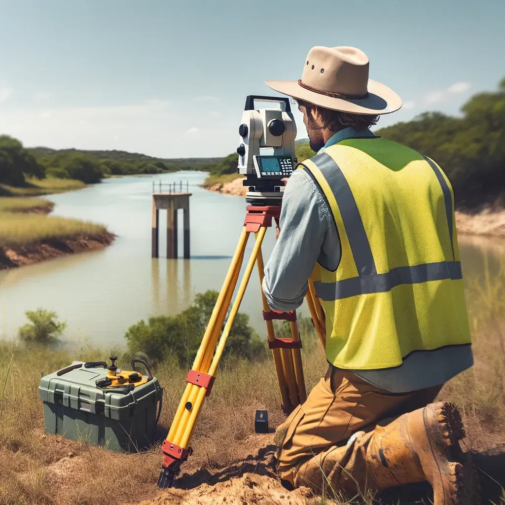
Texas Commercial Construction Survey Guide
"Texas, often referred to as the Lone Star State, is a thriving hub for economic growth and innovation, making it an attractive destination for commercial real estate investment." - Chris Evans
Survey Requirements Before Breaking Ground on Commercial Property in Texas
Before a single shovel hits the dirt, every successful Texas commercial development begins the same way — with accurate survey data.
Whether you’re building a shopping center in Houston, an industrial park in Conroe, or an office complex in Katy, surveys determine what’s buildable, where boundaries lie, and how your design must adapt to local regulations.
Here’s a complete look at which surveys developers need before breaking ground in Texas — and why skipping them can lead to expensive mistakes.
1. ALTA/NSPS Land Title Surveys: Securing Legal Clarity
Before land changes hands or financing is approved, lenders and title companies require an ALTA survey. It confirms property boundaries, improvements, easements, and encroachments.
Why it matters:
Prevents title disputes and financing delays.
Confirms buildable acreage.
Verifies access rights and restrictions.
2. Boundary Surveys: Defining the Work Area
Boundary surveys mark the exact property limits. For construction teams, this ensures grading, foundations, and utilities all stay within legal boundaries.
Why it matters:
Avoids encroachments on neighboring land.
Ensures compliance with setbacks and zoning.
Reduces legal exposure during and after construction.
3. Topographic Surveys: Designing the Site
Topographic surveys provide contour and elevation data essential for drainage, grading, and foundation design.
Why it matters:
Helps engineers plan accurate drainage systems.
Prevents water retention and flooding issues post-construction.
Streamlines permitting with municipal drainage requirements.
4. Floodplain Surveys: Meeting FEMA and City Regulations
Texas is flood-prone, especially in and around Houston. Floodplain surveys identify elevation levels and flood risks, allowing architects and engineers to plan appropriately.
Why it matters:
Prevents construction in restricted zones.
Ensures compliance with FEMA standards.
Keeps insurance and financing in check.
5. Construction Staking: Turning Plans Into Reality
Once permits are secured, staking surveys translate paper designs into field layouts. They mark building corners, utilities, roads, and grading lines.
Why it matters:
Ensures on-site accuracy.
Avoids costly rework.
Keeps the project on schedule.
6. As-Built Surveys: Verifying the Final Product
After completion, an as-built survey documents exactly what was built. It’s often required for occupancy permits, insurance, and future refinancing.
Why it matters:
Confirms compliance with approved plans.
Protects owners and contractors from liability.
Provides a permanent record for future development.
Breaking ground without surveys is like building without blueprints.
From ALTA to staking, every survey plays a critical role in protecting developers, lenders, and investors. In Texas — especially flood-sensitive regions like Houston — a certified survey isn’t optional; it’s the foundation of every successful project.