Tomball & Magnolia Commercial Surveys
"Texas, often referred to as the Lone Star State, is a thriving hub for economic growth and innovation, making it an attractive destination for commercial real estate investment." - Chris Evans
Why Lenders Require ALTA Surveys for Commercial Real Estate in Houston
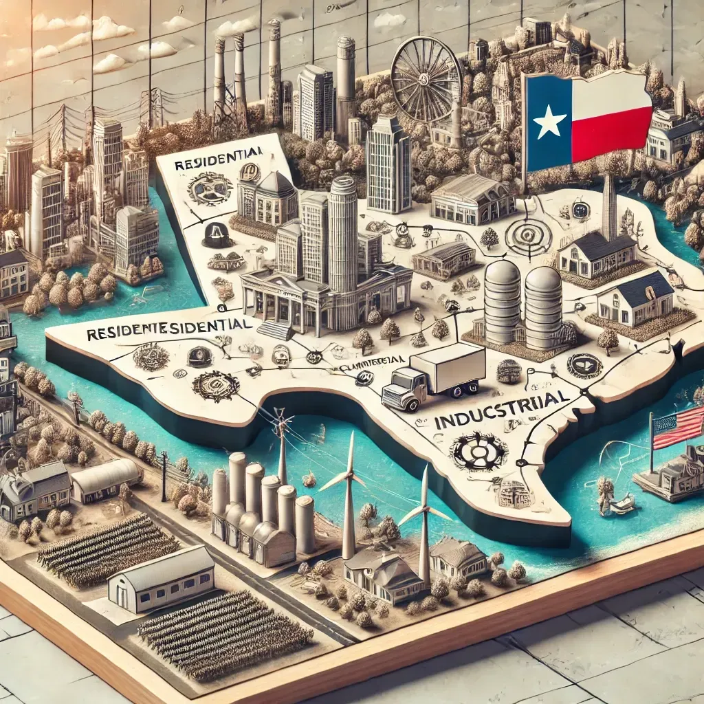
The Tomball–Magnolia corridor north of Houston is one of Texas’s most active commercial growth zones. Once quiet suburbs, these areas have transformed into thriving communities filled with retail centers, medical campuses, industrial parks, and mixed-use developments.
But with that growth comes complexity — floodplain exposure, evolving zoning, and overlapping easements. For developers and investors, commercial land surveys are the key to navigating that complexity and building with confidence.
Here’s how professional surveys protect every commercial project in Tomball and Magnolia.
The Rapid Rise of Tomball and Magnolia
Over the past decade, the Tomball Parkway (SH 249) and FM 1488 corridors have exploded with growth. Companies are moving north from Houston for more space, lower costs, and strong infrastructure.
Commercial developments now include:
Retail and dining centers near FM 2920 and Grand Parkway.
Industrial and logistics facilities along SH 249.
Medical complexes and office parks serving new subdivisions.
Mixed-use communities connecting Magnolia and The Woodlands.
This surge in growth means that surveys are no longer a formality — they’re a necessity.
Why Surveys Are Essential for Northern Houston Projects
1. Floodplain Awareness
Parts of Tomball and Magnolia lie near Spring Creek and Mill Creek, both subject to flooding. Floodplain and elevation surveys ensure compliance with FEMA maps and county regulations.
2. Boundary and Title Clarity
With farmland and ranches being subdivided, title descriptions can be outdated or incomplete. ALTA and boundary surveys verify property lines before purchase or construction.
3. Platting and Replatting Needs
As land is repurposed, developers often need to replat tracts to meet Montgomery and Harris County subdivision requirements. Platting surveys streamline that process.
4. Utility and Easement Conflicts
Utility lines and pipeline easements are common along the 249 and 1488 corridors. Easement surveys prevent conflicts that can delay construction.
5. Drainage and Site Design
Topographic surveys provide engineers with the elevation data needed to design effective drainage systems — critical in this low-lying region.
Survey Types Most Used in Tomball and Magnolia
ALTA/NSPS Land Title Surveys — Required by lenders and title companies for major projects.
Boundary Surveys — Establish ownership and prevent disputes.
Topographic Surveys — Capture land contours for drainage and design.
Floodplain Surveys — Confirm FEMA compliance.
Platting Surveys — Support replatting and subdivision filings.
As-Built Surveys — Verify completed construction before occupancy or refinancing.
Key Growth Zones Requiring Surveys
SH 249 Tollway Corridor: Expanding logistics and industrial facilities.
FM 2920 Commercial Strip: New retail and mixed-use developments.
FM 1488 Toward Magnolia: Medical, retail, and residential expansion.
Grand Parkway North Loop: New subdivisions and business centers.
Common Survey Challenges in Tomball & Magnolia
Overlapping rural plats and modern developments.
Rapid replatting and annexation into city limits.
Drainage coordination across multiple parcels.
Utility easements cutting through commercial tracts.
Inconsistent deed records from legacy property divisions.
A certified local surveyor familiar with Montgomery and Harris County regulations can identify and solve these issues early in the process.
Why Developers and Lenders Rely on Surveys Here
Developers depend on surveys to plan grading, drainage, and access.
Lenders require ALTA surveys before approving financing.
Title companies need certified documentation for closing.
Investors use survey data to assess buildable acreage and value.
Surveys align all parties — reducing risk, expediting deals, and keeping projects compliant.
The Future of Commercial Growth in Tomball and Magnolia
With new infrastructure projects, including expanded tollways and industrial zones, growth in this area is only accelerating. Modern survey technology — from drone LiDAR to 3D GIS mapping — will play a major role in keeping development efficient, compliant, and profitable.
Tomball and Magnolia are redefining Houston’s northern growth corridor — but with opportunity comes risk. Commercial land surveys provide the foundation for smart development, protecting investors, lenders, and builders from costly surprises.
From ALTA surveys to floodplain mapping, every successful project in Tomball and Magnolia starts with one crucial step: a certified survey done right.
