The Role of Topographical Surveys in Houston’s Commercial Real Estate
“hese surveys provide detailed information about the land's features, helping to guide successful development projects.” - Chris Evans
The Role of Topographical Surveys in Commercial Real Estate
In the bustling city of Houston, commercial real estate development is a critical component of the local economy. As developers and investors seek new opportunities, understanding the landscape and terrain is paramount. This is where topographical surveys come into play. These surveys provide detailed information about the land's features, helping to guide successful development projects. Let's explore the vital role of topographical surveys in Houston's commercial real estate and how South Texas Surveying can assist in this process.
What Are Topographical Surveys?
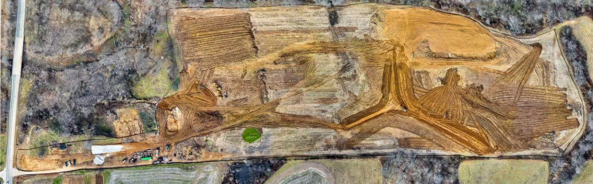
Topographical surveys are detailed examinations of a land area, documenting natural and man-made features. These features include elevations, contours, trees, buildings, roads, and utility lines. The survey results in a comprehensive map that serves as a critical reference for architects, engineers, and developers during the planning and design phases of a project.
Importance in Commercial Real Estate
Accurate Land Assessment: Before any construction begins, understanding the land's characteristics is crucial. Topographical surveys provide an accurate assessment of the land, identifying potential challenges such as uneven terrain or drainage issues. This information helps in making informed decisions and avoiding costly surprises during construction.
Regulatory Compliance: In Houston, commercial real estate projects must comply with various local, state, and federal regulations. Topographical surveys ensure that all relevant data is available, facilitating smoother approvals and permitting processes. This compliance is vital for avoiding delays and legal complications.
Design and Planning: Architects and engineers rely on topographical surveys to design structures that harmonize with the land's natural features. The detailed maps help in planning drainage systems, foundations, and other critical components. This alignment with the terrain enhances the project's sustainability and efficiency.
Risk Mitigation: By providing a clear picture of the land's features, topographical surveys help in identifying and mitigating risks early in the project. Whether it's understanding flood plains, soil conditions, or existing underground utilities, these surveys prevent potential issues that could derail a project.
The Process of Conducting a Topographical Survey
Conducting a topographical survey involves several steps:
Initial Consultation: Understanding the project's scope and specific requirements.
Field Surveying: Using advanced equipment such as total stations, GPS, and drones to gather data.
Data Processing: Analyzing and interpreting the collected data to create detailed maps and reports.
Review and Reporting: Providing comprehensive documentation that can be used for planning and development.
South Texas Surveying: Your Partner in Success
At South Texas Surveying, we specialize in conducting topographical surveys tailored to Houston's commercial real estate needs. Our team of experienced surveyors utilizes the latest technology to deliver precise and reliable results. We understand the unique challenges of the Houston landscape and are committed to providing the insights necessary for successful project outcomes.
Topographical surveys are an indispensable tool in Houston's commercial real estate landscape. They provide the foundational data necessary for accurate planning, regulatory compliance, and risk mitigation. By partnering with experts like South Texas Surveying, developers can ensure their projects are built on solid ground, leading to successful and sustainable developments.
