Surveying Texas Since 1980 Family Owned, Customer Devoted | Firm #10045400 | 281-556-6918

Property Boundary Survey
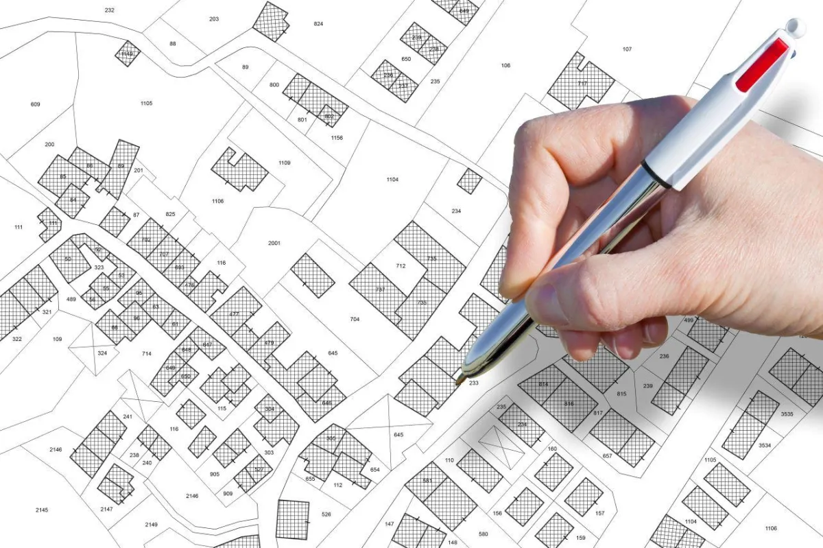
At South Texas Surveying, we understand that Boundary Surveys are much more than simple measurements of land. Our approach involves extensive research into public records, deeds, and previous surveys to determine accurate boundary lines. This process not only involves physical measurement but also a thorough investigation to uncover the legal description of your property - the official written account of a property's boundaries.
What is a Boundary Survey?
A Boundary Survey is a detailed process that determines the exact boundaries of a property. It involves physical measurements and research into historical documents and public records to establish the precise limits of the property, often including a legal description.
Ensuring Accurate Land Surveys
By precisely understanding where your property's boundaries lie, we provide an accurate land survey, crucial in preventing potential future disputes and issues. Our focus on the legal description and historical data guarantees the reliability of our surveys, giving you peace of mind in your property investments.
Why Do I Need a Boundary Survey?
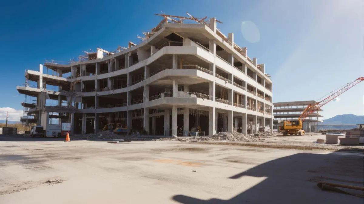
Generally, boundary surveys are required when purchasing, selling, or developing land. We provide the standard surveys requested by title companies, and realtors/lenders. These re-establish the boundary and show all permanent improvements in relation to the property lines, known easements, and known setbacks. Once all the necessary information is gathered and analyzed, our surveyors will present a drawing detailing the boundaries.
What are the different types of boundary surveys to choose from?
There are several different types of boundary surveys, such as cadastral surveys, ALTA/NSPS land title surveys, Category 1A Surveys and Land Title Surveys. The choice depends on the specific needs and requirements of the client and their project.
Reliable & Fast Service
The South Texas Surveying family is dedicated to our clients because we understand the importance of each and every project we undertake. We take pride in our work, therefore it is our mission to make sure that every time we take on a survey project, we give it our all.
Where Efficiency Meets Affordability
The South Texas Surveying family is dedicated to our clients because we understand the importance of each and every project we undertake. We take pride in our work, therefore it is our mission to make sure that every time we take on a survey project, we give it our all.
Talk to one of our experts about your property survey needs.
Common Questions about Land Surveying
What is land surveying and why is it important?
Land surveying is the process of measuring and mapping the physical features of a piece of land. This includes determining boundaries, marking property lines, and identifying natural and man-made features such as hills, streams, and buildings. Land surveying is essential for a variety of reasons, including property ownership, construction and development projects, and legal disputes.
What are some common methods used in land surveying?
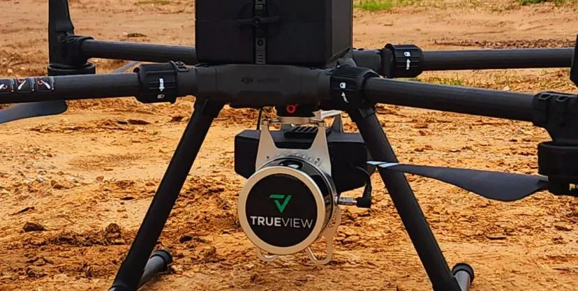
There are several methods used in land surveying, including Global Positioning System (GPS) surveying, terrestrial surveying, and aerial surveying. GPS surveying uses satellites to accurately determine the location of points on the earth's surface, while terrestrial surveying involves taking measurements on the ground using a variety of tools and equipment. Aerial surveying uses aircraft or drones to capture images and data from above.
How much does land surveying cost and how long does it take?
The cost and duration of land surveying can vary widely depending on factors such as the size and complexity of the property, the type of surveying method used, and the location. Generally, land surveying can range from a few hundred to several thousand dollars and can take anywhere from a few days to several weeks to complete. It is important to obtain multiple quotes from qualified surveyors before selecting a provider to ensure that you receive a fair price and accurate results.
Some of The Property Surveys We Offer
Commercial Title Surveys
Expert Commercial Title Surveys: Mapping your property's legal boundaries to facilitate secure real estate transactions and development planning.
Topographical Surveys
Discover the lay of the land with our Topographical Surveys, providing detailed elevation and feature mapping for informed construction and land use planning.
Turn-Key Platting Services
From concept to completion, our Turn-Key Platting Services provide end-to-end management for your land development projects, simplifying complex platting tasks.

UAV LiDAR Surveys
Harness the power of UAV LiDAR Surveys to capture detailed topographic data, enhancing decision-making for construction, mining, and forestry projects.
Delivering Land Surveys with Attention to Detail
George Owens
Commercial Broker

I have worked with many surveying companies, but South Texas Surveying stands out for their exceptional professionalism, attention to detail, and commitment to their clients.
Kim Wexler
Project Manager
Their accurate and thorough surveys make my job a lot easier, their ability to communicate effectively with all parties involved is commendable. I highly recommend South Texas Surveying.
James Cart
Homeowner
As a new homeowner, I was thoroughly impressed with the professional service provided by South Texas Surveying. I high recommend their services to any one buying a home in Houston.
Contact Us
Email: [email protected]
Office Address: 11281 Richmond Ave
BLDG J, Suite 101,
Houston, TX 77082
Office Hours: Mon – Fri 8:00am – 5:00pm
Office Phone Number: 281-556-6918
11281 Richmond Ave
BLDG J, Suite 101,
Houston, TX 77082
Firm Number: 10045400
Resources
© Copyright 2024 South Texas Surveying Associates