Surveying Texas Since 1980 Family Owned, Customer Devoted | Firm #10045400 | 281-556-6918

Aerial and LiDAR Surveys
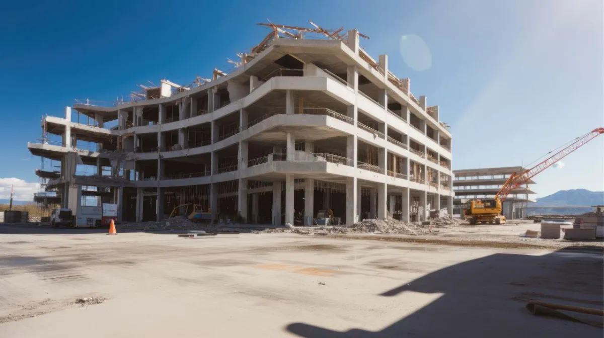
LIDAR technology, with its unmatched detail and efficiency, has transformed land surveying. South Texas Surveying leverages this innovation with our LIDAR drone surveying services, producing high-resolution 3D terrain models essential for today's complex projects and stringent standards.
What is a LiDAR Land Survey?
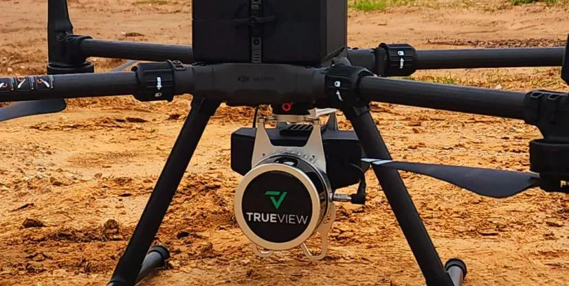
A LiDAR (Light Detection and Ranging) survey is a type of aerial land surveying technique that uses laser light to measure distances to the Earth. This technology creates high-resolution maps that include topographical features and can be used for various applications like construction planning, environmental conservation, and real estate development. UAV (Unmanned Aerial Vehicle) aerial land surveys involve using drones equipped with LiDAR sensors to capture detailed 3D models of the terrain. This method is known for its precision, efficiency, and cost-effectiveness, making it suitable for a wide range of surveying needs.
The Advantages of LIDAR Drone Surveying
Unrivaled Precision: Our drones equipped with LIDAR deliver unparalleled detail in surveys, crucial for precise planning and execution of various projects.
Efficient and Cost-effective: Drone LIDAR mapping not only expedites the surveying process but also proves to be cost-effective over time.
Versatile Applications: Ideal for construction planning, environmental conservation, or real estate development, our LIDAR drones cater to a wide range of needs.
All Work Done in House: Services are performed internally, ensuring control over quality and timelines.
Quality Control by Experienced Staff: Rigorous checks and balances by skilled professionals to ensure the highest data accuracy and reliability.
South Texas Surveying's Expertise
Our fleet integrates with traditional surveying methods, ensuring comprehensive results. Our FAA-licensed pilots are skilled in both UAV inspection and delivery services, guaranteeing quality outcomes.
Drone Services We Offer
LiDAR and Photogrammetry: Advanced techniques for capturing detailed topographic information and 3D models.
Topography: Detailed mapping of the surface features of an area, showing natural and man-made structures
Point Clouds: A set of data points in space used to represent the external surface of an object or terrain.
High-Res 2D Orthoimages: High-resolution aerial images corrected for topographic relief, lens distortion, and camera tilt.
2D CAD Drawings: Computer-aided design drawings that provide a detailed two-dimensional representation of a geographical area.
Flythrough Videos: Animated videos that simulate the experience of flying over the terrain, offering a visual survey of the area.
Vegetation Penetration: Techniques that allow sensors to capture the ground surface beneath vegetation for accurate terrain data.
Drone Scanning: Use of drones to capture detailed spatial information, ideal for mapping and inspecting hard-to-reach areas.
Accuracy Reports: Detailed reports verifying the precision and reliability of the survey data.
High Accuracy TIN Surfaces: Triangulated irregular networks created with high precision for accurate representation of the terrain.
Breaklines and CAD points: Essential elements in creating accurate topographic models, indicating changes in terrain and key points for CAD mapping.
Where Efficiency Meets Affordability
The South Texas Surveying family is dedicated to our clients because we understand the importance of each and every project we undertake. We take pride in our work, therefore it is our mission to make sure that every time we take on a survey project, we give it our all.
Talk to one of our experts about your property survey needs.
Common Questions about Land Surveying
What is land surveying and why is it important?
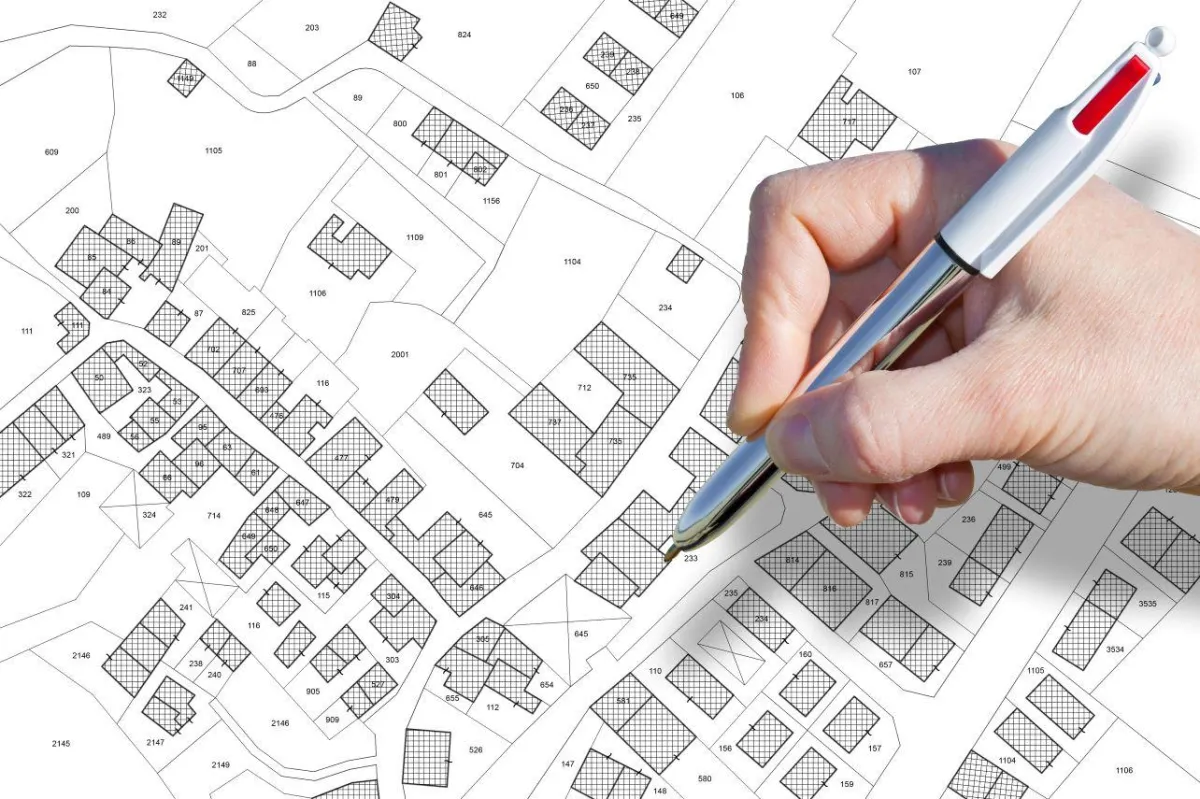
Land surveying is the process of measuring and mapping the physical features of a piece of land. This includes determining boundaries, marking property lines, and identifying natural and man-made features such as hills, streams, and buildings. Land surveying is essential for a variety of reasons, including property ownership, construction and development projects, and legal disputes.
What are some common methods used in land surveying?
There are several methods used in land surveying, including Global Positioning System (GPS) surveying, terrestrial surveying, and aerial surveying. GPS surveying uses satellites to accurately determine the location of points on the earth's surface, while terrestrial surveying involves taking measurements on the ground using a variety of tools and equipment. Aerial surveying uses aircraft or drones to capture images and data from above.
How much does land surveying cost and how long does it take?
The cost and duration of land surveying can vary widely depending on factors such as the size and complexity of the property, the type of surveying method used, and the location. Generally, land surveying can range from a few hundred to several thousand dollars and can take anywhere from a few days to several weeks to complete. It is important to obtain multiple quotes from qualified surveyors before selecting a provider to ensure that you receive a fair price and accurate results.
Some of The Property Surveys We Offer
Commercial Title Survey
Expert Commercial Title Surveys: Mapping your property's legal boundaries to facilitate secure real estate transactions and development planning.
Topographical Survey
Discover the lay of the land with our Topographical Surveys, providing detailed elevation and feature mapping for informed construction and land use planning.
Turn-Key Platting Service
From concept to completion, our Turn-Key Platting Services provide end-to-end management for your land development projects, simplifying complex platting tasks.

ALTA/NSPS Title Survey
An ALTA Land Survey is a thorough report that outlines property boundaries, easements, and other key physical details of a property.
Delivering Land Surveys with Attention to Detail
George Owens
Commercial Broker

I have worked with many surveying companies, but South Texas Surveying stands out for their exceptional professionalism, attention to detail, and commitment to their clients.
Kim Wexler
Project Manager
Their accurate and thorough surveys make my job a lot easier, their ability to communicate effectively with all parties involved is commendable. I highly recommend South Texas Surveying.
James Cart
Homeowner
As a new homeowner, I was thoroughly impressed with the professional service provided by South Texas Surveying. I high recommend their services to any one buying a home in Houston.
Contact Us
Email: [email protected]
Office Address: 11281 Richmond Ave
BLDG J, Suite 101,
Houston, TX 77082
Office Hours: Mon – Fri 8:00am – 5:00pm
Office Phone Number: 281-556-6918
11281 Richmond Ave
BLDG J, Suite 101,
Houston, TX 77082
Firm Number: 10045400
Resources
© Copyright 2024 South Texas Surveying Associates