Surveying Texas Since 1980 Family Owned, Customer Devoted | Firm #10045400 | 281-556-6918

See Our Latest Blogs
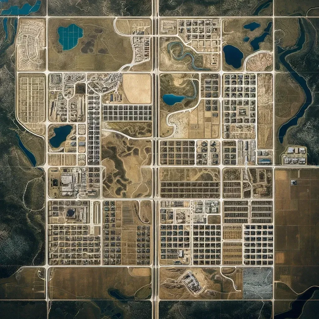
3D Laser Scanning in Texas Commercial Land Surveys
"Texas, often referred to as the Lone Star State, is a thriving hub for economic growth and innovation, making it an attractive destination for commercial real estate investment." - Chris Evans
How 3D Laser Scanning Is Transforming Commercial Land Surveys in Texas
In the fast-paced world of commercial real estate development, accurate and efficient land surveys are more critical than ever. As Texas continues to experience a surge in commercial projects, from expanding urban hubs to revitalized industrial parks, developers and title companies need modern solutions to address complex surveying needs. One innovation leading the way is 3D laser scanning—a technology that has revolutionized commercial land surveying across Texas.
3D laser scanning provides unprecedented precision, speed, and detail in capturing site data. For commercial developers and title companies, this technology eliminates guesswork, accelerates timelines, and ensures projects comply with zoning laws, property boundaries, and construction specifications.
This blog explores the benefits, applications, and future of 3D laser scanning in commercial land surveys throughout Texas.
What Is 3D Laser Scanning in Land Surveys?
3D laser scanning, also known as LiDAR (Light Detection and Ranging), is an advanced surveying method that uses laser beams to measure distances with remarkable accuracy. The process involves:
Laser Emission: A scanner emits rapid laser pulses that bounce off surfaces like buildings, terrain, or structures.
Data Capture: The scanner records the time it takes for the laser to return, creating a detailed “point cloud” of millions of coordinates.
3D Models: The data is processed to produce precise 3D digital models or maps of the site.
Unlike traditional surveying methods, which can be time-consuming and labor-intensive, 3D laser scanning delivers highly detailed data in a fraction of the time.
The Growing Demand for 3D Laser Scanning in Texas
Texas has become a commercial real estate hotspot, with major cities like Houston, Dallas, and Austin seeing consistent growth. The need for accurate land surveys has grown alongside this development boom.
Why is 3D laser scanning gaining traction?
Speed and Efficiency: Large commercial sites can be surveyed in hours rather than days.
Unmatched Precision: Laser technology captures details down to the millimeter, ensuring accurate results.
Cost Savings: Faster surveys mean reduced labor costs and fewer errors that could cause project delays.
For developers working on commercial real estate, warehouses, industrial complexes, or urban redevelopments, 3D laser scanning offers a competitive advantage.
Key Benefits of 3D Laser Scanning in Commercial Surveys
1. Highly Accurate Data Collection
3D laser scanning generates millions of data points, capturing even the smallest details of a site. This accuracy ensures that developers have the information they need to make informed decisions about site planning, design, and construction.
For title companies, precise land data is invaluable for verifying boundaries and identifying encroachments before closing transactions.
2. Faster Project Timelines
Time is money in commercial real estate. Traditional surveying methods require extensive fieldwork, manual measurements, and processing time. In contrast, 3D laser scanning significantly reduces these steps. Complex sites can be scanned in a single day, allowing projects to move forward faster.
3. Improved Design and Planning
3D models generated from laser scans provide architects, engineers, and planners with detailed site visuals. These models can integrate seamlessly with CAD (Computer-Aided Design) software for accurate designs, ensuring projects align with property boundaries, existing infrastructure, and topographical features.
4. Enhanced Safety
For projects involving industrial or hazardous sites, 3D laser scanning minimizes risks by reducing the need for surveyors to physically access dangerous areas. Instead, scanners can collect data from a safe distance, keeping teams secure.
5. Comprehensive Site Analysis
From analyzing terrain elevation to identifying utility lines and structures, 3D laser scanning offers a holistic view of a property. This comprehensive analysis ensures developers uncover potential issues—such as grading challenges or hidden easements—before construction begins.
Applications of 3D Laser Scanning in Texas Commercial Projects
1. Property Acquisition Surveys
Before acquiring land for commercial development, title companies and investors must verify boundaries and identify potential legal issues. 3D laser scanning enhances property acquisition surveys by delivering high-accuracy maps and boundary data.
2. Urban Redevelopment
As Texas cities expand, urban redevelopment projects are transforming outdated infrastructure into vibrant commercial spaces. 3D laser scanning is ideal for capturing detailed site conditions in dense urban environments where precision is key.
3. Industrial Facility Surveys
For warehouses, plants, and industrial parks, accurate surveys ensure proper facility placement and efficient land use. Laser scanning helps developers optimize designs for large-scale projects while avoiding costly errors.
4. Topographic Surveys
Topography plays a crucial role in site planning, particularly for commercial projects involving drainage systems, grading, or environmental considerations. 3D laser scanning provides detailed elevation data that informs engineering decisions.
5. Construction Progress Monitoring
Throughout the construction process, 3D laser scanning can be used to track progress and ensure work aligns with the original plans. This helps developers detect deviations early and minimize costly rework.
Why Texas Developers and Title Companies Trust 3D Laser Scanning
For developers and title companies navigating Texas’ competitive commercial market, 3D laser scanning offers peace of mind. The technology’s ability to capture reliable data quickly helps stakeholders avoid common pitfalls, such as:
Boundary disputes
Construction errors
Zoning violations
Project delays
At South Texas Surveying, we provide state-of-the-art 3D laser scanning services that help developers, title companies, and investors complete projects efficiently and accurately.
How South Texas Surveying Delivers Cutting-Edge 3D Laser Scanning
As leaders in commercial land surveys, South Texas Surveying combines decades of experience with the latest technology. Our 3D laser scanning services include:
Detailed Site Mapping: Comprehensive 3D maps and models for accurate site analysis.
Boundary Verification: High-accuracy boundary surveys to resolve disputes and ensure legal compliance.
Custom Reports: Tailored reports with data on encroachments, easements, topography, and more.
Seamless Integration: 3D laser scanning data integrates directly into CAD software for architects and engineers.
Our team works with developers, title companies, and real estate professionals across Texas to deliver the precision and efficiency that modern commercial projects demand.
The Future of Commercial Land Surveys in Texas
As 3D laser scanning technology continues to evolve, its role in commercial land surveys will only expand. From smart city developments to renewable energy projects, the demand for accurate, real-time data will drive further innovation.
Texas developers and investors who adopt 3D laser scanning today position themselves ahead of the curve, ensuring their projects meet the highest standards of accuracy and efficiency.
Partner With South Texas Surveying for 3D Laser Scanning
For Texas commercial developers and title companies, success starts with accurate land surveys. 3D laser scanning has transformed the surveying process, offering unmatched precision, speed, and reliability.
At South Texas Surveying, we provide industry-leading 3D laser scanning services tailored to meet the needs of commercial projects across Texas. Whether you’re acquiring land, redeveloping urban spaces, or constructing large-scale facilities, we deliver the data you need to make informed decisions and move forward with confidence.
Contact South Texas Surveying today to learn how 3D laser scanning can support your next commercial project.

Delivering Land Surveys with Attention to Detail
George Owens
Commercial Broker

I have worked with many surveying companies, but South Texas Surveying stands out for their exceptional professionalism, attention to detail, and commitment to their clients.
Kim Wexler
Project Manager
Their accurate and thorough surveys make my job a lot easier, their ability to communicate effectively with all parties involved is commendable. I highly recommend South Texas Surveying.
James Cart
Homeowner
As a new homeowner, I was thoroughly impressed with the professional service provided by South Texas Surveying. I high recommend their services to any one buying a home in Houston.
Contact Us
Email: [email protected]
Office Address: 11281 Richmond Ave
BLDG J, Suite 101,
Houston, TX 77082
Office Hours: Mon – Fri 8:00am – 5:00pm
Office Phone Number: 281-556-6918
11281 Richmond Ave
BLDG J, Suite 101,
Houston, TX 77082
Firm Number: 10045400
Resources
© Copyright 2024 South Texas Surveying Associates