Surveying Texas Since 1980 Family Owned, Customer Devoted | Firm #10045400 | 281-556-6918

See Our Latest Blogs
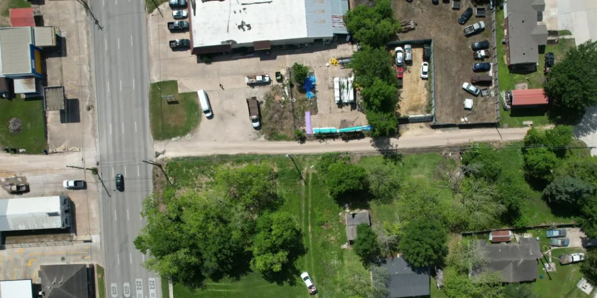
Floodplain Mapping for Commercial Investments in Texas in 2025
"Texas, often referred to as the Lone Star State, is a thriving hub for economic growth and innovation, making it an attractive destination for commercial real estate investment." - Chris Evans
Floodplain Mapping for Commercial Investments in Texas in 2025
Texas continues to be a top destination for commercial real estate investments in 2025, thanks to its booming economy, expanding urban centers, and investor-friendly climate. However, with opportunity comes risk—particularly the growing threat of flooding in many parts of the state.
From hurricane-prone coastal regions to inland areas susceptible to flash floods, understanding a property’s flood risk is critical for protecting investments. Floodplain mapping, conducted through specialized land surveys, has become an indispensable tool for commercial investors.
This article explores the importance of floodplain mapping for Texas commercial investments, its role in mitigating risks, and how land surveys provide the data needed for confident decision-making in 2025.
What Is Floodplain Mapping?
Floodplain mapping is the process of identifying areas prone to flooding based on elevation, water flow patterns, and historical flood data. These maps are essential for assessing the risks associated with properties located near rivers, streams, or coastal zones.
Key Features of Floodplain Maps:
Flood Zones: Designated areas with varying levels of flood risk, such as FEMA’s 100-year and 500-year flood zones.
Base Flood Elevation (BFE): The height at which water is expected to rise during a significant flood event.
Topographic Data: Elevation and contour information that highlights high-risk areas.
Hydrologic Features: Includes rivers, creeks, and stormwater drainage systems.
Floodplain mapping helps developers and investors understand how water moves through a property and plan accordingly to reduce risks.
Why Floodplain Mapping Is Essential for Commercial Investments in 2025
1. Identifying High-Risk Areas
Floodplain mapping reveals whether a property lies within a designated flood zone. For investors, this information is crucial for:
Avoiding high-risk areas or factoring risk into purchase decisions.
Determining whether additional flood mitigation measures are needed.
2. Reducing Financial Risks
Flood damage can result in costly repairs, business interruptions, and reduced property value. Floodplain mapping helps investors mitigate these risks by identifying vulnerabilities and implementing protective measures.
3. Ensuring Regulatory Compliance
In Texas, properties located within flood zones must comply with FEMA regulations and local floodplain management ordinances. Floodplain mapping provides the data needed to meet these requirements and secure permits.
4. Supporting Insurance Applications
Floodplain maps are often required for obtaining flood insurance. Accurate mapping ensures that premiums reflect the true risk, helping investors avoid overpaying for coverage.
5. Guiding Development Decisions
For commercial projects, floodplain mapping informs critical design decisions, such as:
Elevating structures above the Base Flood Elevation (BFE).
Designing stormwater management systems.
Identifying safe locations for critical infrastructure.
How Land Surveys Support Floodplain Mapping
Floodplain mapping relies on precise data collected through land surveys. Surveyors use advanced tools and techniques to create accurate maps that help investors and developers make informed decisions.
1. Topographic Surveys
Topographic surveys provide detailed elevation data, helping surveyors identify areas prone to flooding. This data is essential for:
Calculating Base Flood Elevations (BFEs).
Designing drainage systems that align with natural water flow.
Ensuring compliance with local building codes.
2. Boundary Surveys
Boundary surveys define property lines and identify encroachments or easements that may impact flood risk management. For example, a drainage easement might dictate where stormwater flows across a property.
3. ALTA/NSPS Land Title Surveys
ALTA surveys provide a comprehensive overview of a property, including flood zone designations and other encumbrances. These surveys are often required for commercial transactions involving high-value properties.
4. Flood Elevation Certificates
Elevation certificates document the height of a building’s lowest floor relative to the Base Flood Elevation (BFE). These certificates are critical for:
Securing flood insurance.
Demonstrating compliance with FEMA and local regulations.
Reducing flood insurance premiums by proving that structures are elevated above the flood level.
The Impact of Climate Change on Floodplain Mapping
1. Rising Sea Levels
Coastal regions in Texas, including Houston and Galveston, face increased flood risks due to rising sea levels. Floodplain mapping must account for these changes to provide accurate risk assessments.
2. More Frequent Extreme Weather
Climate change has led to more intense hurricanes and heavier rainfall events. Floodplain maps are being updated to reflect these trends, helping investors adapt to evolving risks.
3. Shifting Flood Zones
As weather patterns change, flood zones are expanding in some areas and contracting in others. Up-to-date surveys ensure that investors have the most accurate information about a property’s risk.
4. Stricter Regulations
In response to climate change, local governments are implementing stricter floodplain management policies. Floodplain mapping helps investors navigate these regulations and avoid compliance issues.
Challenges in Floodplain Mapping for Commercial Investments
1. Incomplete or Outdated Data
Floodplain maps are only as accurate as the data they’re based on. Investors should ensure that their surveys are conducted using the latest technology and include up-to-date information.
2. Complex Topography
Texas’s diverse terrain, from flat coastal plains to rolling hills, can make floodplain mapping challenging. Surveyors must account for variations in elevation and water flow.
3. Overlapping Regulations
Properties located near rivers or coastal zones may be subject to overlapping federal, state, and local floodplain regulations. Surveys provide the documentation needed to navigate these complexities.
4. Balancing Development With Risk Mitigation
For commercial developers, balancing profitability with flood risk mitigation can be a challenge. Surveys help identify opportunities for resilient design while minimizing costs.
Case Study: Using Floodplain Mapping for a Texas Commercial Project
Project Overview:
A developer planned to build a 50,000-square-foot retail center in San Antonio on a 12-acre site partially located within a flood zone.
Challenges:
A portion of the property was at risk of flooding during heavy rainfall.
The local government required a stormwater management plan for permit approval.
The lender requested an elevation certificate before approving financing.
Surveyor’s Approach:
Conducted a topographic survey to map elevation changes and identify flood-prone areas.
Provided an elevation certificate documenting that proposed structures would be above the Base Flood Elevation (BFE).
Designed a grading plan to direct water away from buildings and toward a retention pond.
Mapped drainage easements and ensured compliance with local stormwater regulations.
Outcome:
The floodplain mapping and surveys enabled the developer to:
Secure financing and insurance for the project.
Obtain permits without delays.
Design a safe, resilient retail center that minimized flood risks.
The Role of Technology in Floodplain Mapping in 2025
1. Drones and Aerial Imaging
Drones equipped with LiDAR sensors provide high-resolution elevation data, making it easier to map large or complex sites.
2. Geographic Information Systems (GIS)
GIS tools integrate survey data with FEMA flood maps, hydrologic models, and other geographic information, creating comprehensive floodplain maps.
3. 3D Modeling Software
Surveyors use 3D modeling software to simulate water flow and test flood mitigation strategies before construction begins.
4. Real-Time Data Updates
In 2025, many floodplain maps are updated in real-time using data from weather sensors, satellite imagery, and other sources. This ensures that investors have access to the most accurate and current information.
Why Choose South Texas Surveying for Floodplain Mapping?
At South Texas Surveying, we specialize in providing accurate and reliable floodplain mapping services for commercial real estate investors across Texas.
Our Services Include:
Topographic and Boundary Surveys: Identify elevation changes and property lines.
Flood Elevation Certificates: Document compliance with FEMA and local regulations.
Comprehensive Floodplain Mapping: Assess flood risks and provide actionable insights.
Custom Solutions: Design grading and drainage plans tailored to your property’s needs.
With decades of experience and cutting-edge technology, we help investors protect their assets and navigate the complexities of floodplain management.
Conclusion: Build With Confidence in 2025
Floodplain mapping is an essential tool for mitigating risks and protecting commercial investments in Texas. By providing detailed elevation data, identifying flood zones, and guiding development decisions, surveys empower investors to make informed choices and build resilient projects.
At South Texas Surveying, we’re committed to helping you succeed in the dynamic Texas real estate market. Contact us today to schedule a survey and ensure your investment is built to withstand the challenges of 2025.

Delivering Land Surveys with Attention to Detail
George Owens
Commercial Broker

I have worked with many surveying companies, but South Texas Surveying stands out for their exceptional professionalism, attention to detail, and commitment to their clients.
Kim Wexler
Project Manager
Their accurate and thorough surveys make my job a lot easier, their ability to communicate effectively with all parties involved is commendable. I highly recommend South Texas Surveying.
James Cart
Homeowner
As a new homeowner, I was thoroughly impressed with the professional service provided by South Texas Surveying. I high recommend their services to any one buying a home in Houston.
Contact Us
Email: [email protected]
Office Address: 11281 Richmond Ave
BLDG J, Suite 101,
Houston, TX 77082
Office Hours: Mon – Fri 8:00am – 5:00pm
Office Phone Number: 281-556-6918
11281 Richmond Ave
BLDG J, Suite 101,
Houston, TX 77082
Firm Number: 10045400
Resources
© Copyright 2024 South Texas Surveying Associates