Surveying Texas Since 1980 Family Owned, Customer Devoted | Firm #10045400 | 281-556-6918

See Our Latest Blogs
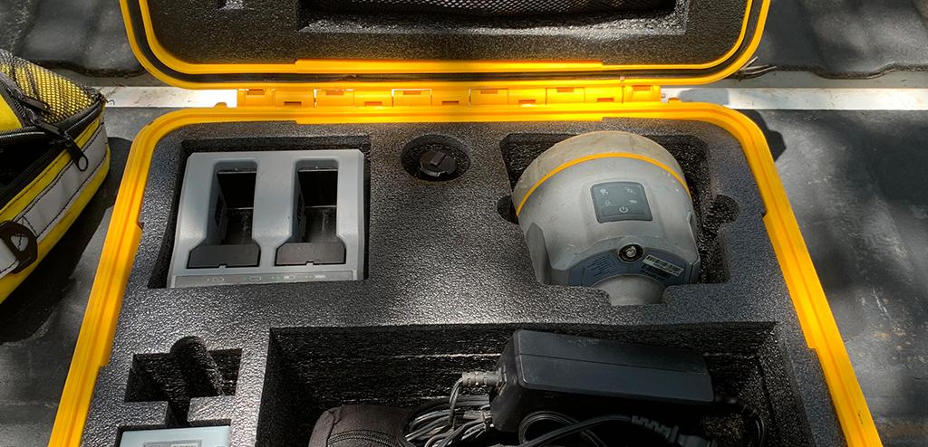
The Role of GIS in Modern Surveying in Texas
“GIS technology revolutionizes this process by enabling the precise and rapid collection of spatial data.” - Chris Evans
The Role of GIS (Geographic Information Systems) in Modern Surveying
In the dynamic field of surveying, Geographic Information Systems (GIS) have emerged as game-changers, significantly enhancing the ways spatial data is collected, analyzed, and visualized. For Texas-based surveyors, GIS technology is indispensable, offering numerous benefits that improve project planning and execution. This blog delves into the vital role of GIS in modern surveying and its impact on the industry.
Collecting Spatial Data with Precision
Traditionally, surveyors relied on extensive fieldwork and manual data entry, which were time-consuming and often prone to errors. GIS technology revolutionizes this process by enabling the precise and rapid collection of spatial data. Utilizing tools such as satellite imagery, aerial photography, and remote sensing, surveyors can gather comprehensive data sets with remarkable accuracy. This streamlined process not only saves time but also minimizes the margin of error, ensuring high-quality results.
Advanced Data Analysis
After collecting data, the next critical step is analysis, where GIS technology truly shines. Surveyors can overlay various data types, including topographic maps, land use patterns, and infrastructure details, to create a holistic view of the surveyed area. GIS software facilitates complex spatial analysis, such as terrain modeling, hydrological assessments, and environmental impact studies. These analyses provide surveyors with deep insights, enabling them to make informed decisions and offer valuable recommendations for project planning.
Effective Data Visualization
One of the standout features of GIS technology is its ability to transform complex spatial data into user-friendly visual formats. Surveyors can create detailed maps, 3D models, and other visual representations that make it easier to convey intricate information to clients, stakeholders, and project teams. These visual tools enhance understanding and communication, ensuring that all parties have a clear and accurate depiction of the surveyed area.
Impact on Project Planning and Execution
The integration of GIS technology into modern surveying practices has a profound impact on project planning and execution, particularly in Texas. Here are some key benefits:
Improved Accuracy: GIS technology ensures precise data collection and analysis, reducing errors and increasing the reliability of survey results.
Enhanced Efficiency: By streamlining data collection and analysis processes, GIS saves time and resources, allowing surveyors to complete projects more efficiently.
Better Decision-Making: GIS provides comprehensive insights through spatial analysis and visualization, empowering surveyors to make well-informed decisions.
Effective Communication: Visual representations created with GIS technology improve communication with clients, stakeholders, and project teams, facilitating better collaboration.
Environmental Considerations: GIS allows for detailed environmental impact assessments, helping surveyors identify and mitigate potential environmental risks during project planning and execution.
GIS in Texas Surveying
In Texas, where diverse landscapes and rapid development present unique challenges, GIS technology is especially beneficial. From urban planning in cities like Houston and Dallas to managing vast rural areas, GIS provides the tools necessary to address complex surveying needs. At South Texas Surveying, we harness the power of GIS to deliver high-quality services that meet the specific requirements of our clients, ensuring successful project outcomes.
Geographic Information Systems (GIS) have transformed modern surveying, providing unparalleled improvements in data collection, analysis, and visualization. For Texas surveyors, GIS technology enhances accuracy, efficiency, and effectiveness, making it an essential tool for project planning and execution. At South Texas Surveying, we leverage GIS to offer superior surveying services that drive the success of our clients' projects.

Delivering Land Surveys with Attention to Detail
George Owens
Commercial Broker

I have worked with many surveying companies, but South Texas Surveying stands out for their exceptional professionalism, attention to detail, and commitment to their clients.
Kim Wexler
Project Manager
Their accurate and thorough surveys make my job a lot easier, their ability to communicate effectively with all parties involved is commendable. I highly recommend South Texas Surveying.
James Cart
Homeowner
As a new homeowner, I was thoroughly impressed with the professional service provided by South Texas Surveying. I high recommend their services to any one buying a home in Houston.
Contact Us
Email: [email protected]
Office Address: 11281 Richmond Ave
BLDG J, Suite 101,
Houston, TX 77082
Office Hours: Mon – Fri 8:00am – 5:00pm
Office Phone Number: 281-556-6918
11281 Richmond Ave
BLDG J, Suite 101,
Houston, TX 77082
Firm Number: 10045400
Resources
© Copyright 2024 South Texas Surveying Associates