Surveying Texas Since 1980 Family Owned, Customer Devoted | Firm #10045400 | 281-556-6918

See Our Latest Blogs
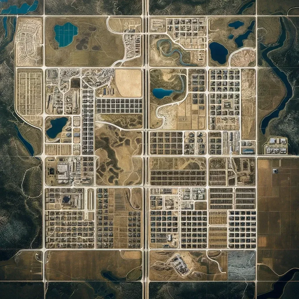
Land Surveying Innovations Shaping Dallas Real Estate
"Texas, often referred to as the Lone Star State, is a thriving hub for economic growth and innovation, making it an attractive destination for commercial real estate investment." - Chris Evans
Land Surveying Innovations
Shaping Dallas Real Estate
The commercial real estate market in Dallas is booming, and much of this growth can be attributed to advancements in land surveying technology. With new tools and methodologies emerging, land surveying has become more precise, efficient, and impactful than ever before. These innovations are shaping the future of Dallas' commercial real estate landscape, from faster project turnarounds to enhanced property valuations and improved compliance with local regulations.
The Role of Land Surveying in Commercial Real Estate
Land surveying plays a crucial role in commercial real estate, providing detailed measurements and maps that serve as the foundation for planning, development, and transactions. A land survey provides essential information about property boundaries, topography, and existing structures, enabling developers, investors, and regulators to make informed decisions.
In Dallas, where the real estate market is experiencing rapid growth, the need for accurate, timely surveys has never been greater. Innovations in land surveying are helping the industry meet this demand by offering more efficient processes, reducing the margin for error, and enhancing the quality of data available for real estate projects.
Emerging Technologies in Land Surveying
Several cutting-edge technologies are transforming the land surveying industry. These advancements are not only increasing the accuracy of surveys but are also streamlining the entire process, reducing costs, and speeding up project timelines.
Drones (Unmanned Aerial Vehicles - UAVs)
One of the most significant innovations in land surveying is the use of drones. Drones equipped with high-resolution cameras and LiDAR sensors can capture detailed aerial images and generate 3D maps of properties. For large commercial properties in Dallas, this is a game-changer. Drones can survey vast areas in a fraction of the time it takes for traditional ground-based surveys, providing faster results with high precision.In addition to speed, drones offer the ability to survey difficult-to-reach areas, such as densely forested plots or properties with challenging terrain. They are also valuable for ongoing monitoring of construction sites, ensuring projects remain on track and within legal boundaries.
LiDAR (Light Detection and Ranging)
LiDAR technology uses laser pulses to measure distances and create detailed, high-resolution 3D models of the terrain. This innovation is particularly useful for commercial real estate projects in Dallas that require accurate topographical data, such as those involving large-scale developments or areas with complex landscapes.LiDAR can penetrate vegetation, making it possible to create accurate maps of forested areas and other sites where traditional surveying methods might struggle. The technology is also highly precise, with accuracy down to a few centimeters, which is critical for developers who need to understand the exact contours of a site.
3D Laser Scanning
3D laser scanning is revolutionizing how surveyors capture data about existing buildings and structures. For commercial properties in Dallas, this technology allows for detailed scans of building interiors and exteriors, creating digital replicas that can be used for renovation, expansion, or sale purposes.By capturing millions of data points, 3D laser scanning provides an incredibly accurate depiction of a property’s dimensions, which can be used for architectural planning, design, and construction. It also allows for non-invasive surveying, meaning no disruption to business operations during the scanning process.
Global Navigation Satellite Systems (GNSS)
GNSS, which includes GPS, GLONASS, and other satellite-based systems, allows surveyors to pinpoint locations with incredible accuracy. This technology has been a staple in land surveying for years but continues to evolve. Today’s GNSS systems are more accurate than ever, capable of providing real-time kinematic (RTK) positioning, which delivers centimeter-level accuracy.For commercial developers in Dallas, this means faster and more precise surveys. GNSS technology is particularly useful for marking property boundaries, mapping large tracts of land, and ensuring that new construction projects adhere to zoning and setback requirements.
Geographic Information Systems (GIS)
GIS technology allows surveyors to manage, analyze, and visualize geographic data in ways that were previously impossible. In Dallas, GIS is being used to layer data about zoning, infrastructure, environmental factors, and topography on top of traditional survey maps.By integrating various types of data, GIS can provide commercial developers with a comprehensive understanding of a property’s potential uses and challenges. For example, developers can use GIS to assess flood risks, evaluate access to utilities, or analyze proximity to transportation networks—all of which are crucial considerations in commercial real estate.
How Land Surveying Innovations Benefit Commercial Real Estate in Dallas
As the Dallas real estate market continues to grow, the need for accurate, timely surveys becomes more pressing. Innovations in land surveying are helping meet this demand by improving the speed, precision, and cost-effectiveness of surveys. These advancements are also benefiting commercial property owners, developers, and investors in several key ways.
Faster Project Timelines
In commercial real estate, time is money. Traditional land surveying methods can be time-consuming, particularly for large or complex properties. By using drones, LiDAR, and other advanced technologies, surveyors can complete their work in a fraction of the time, allowing developers to break ground sooner and keep projects on schedule.This is especially important in a fast-paced market like Dallas, where competition for prime real estate is fierce, and delays can result in missed opportunities.
Increased Accuracy and Detail
Precision is critical in land surveying, particularly for commercial real estate projects that involve large investments and complex legal requirements. Innovations like 3D laser scanning and LiDAR provide a level of detail that was previously unattainable, helping developers and investors make more informed decisions.Accurate surveys also reduce the risk of costly errors, such as building on the wrong plot of land or violating zoning regulations. In Dallas, where commercial properties are subject to stringent zoning and land-use laws, having a precise survey is essential.
Cost Savings
While advanced surveying technologies can come with a higher upfront cost, they often result in long-term savings. Faster project timelines mean reduced labor costs, and the increased accuracy of modern surveys can help avoid expensive mistakes and legal disputes.In addition, technologies like drones and LiDAR can survey large properties more efficiently than traditional methods, reducing the need for manpower and heavy equipment. For commercial real estate developers in Dallas, these savings can be significant, particularly on large-scale projects.
Improved Environmental Compliance
Dallas has a diverse environment that includes floodplains, protected habitats, and areas with strict environmental regulations. Innovations like GIS and LiDAR are helping developers navigate these challenges by providing detailed data about the natural landscape.For example, GIS can help identify areas that are prone to flooding or erosion, allowing developers to plan around these issues and ensure compliance with environmental laws. By avoiding environmentally sensitive areas, developers can also reduce the risk of costly fines and project delays.
Enhanced Property Value
Accurate land surveys are essential for determining property boundaries, identifying easements, and assessing the potential for development. With the help of modern surveying technologies, commercial property owners in Dallas can gain a more accurate understanding of their property’s value and marketability.In some cases, innovations like 3D laser scanning can reveal hidden opportunities, such as the potential to expand a building or reconfigure a property’s layout. For investors, having access to this level of detail can make a property more attractive and increase its resale value.
Challenges in Adopting New Surveying Technologies
While the benefits of modern land surveying technologies are clear, there are still challenges to widespread adoption. Many of these innovations require significant investments in equipment and training, which can be a barrier for smaller surveying firms or developers with limited budgets.
Additionally, the regulatory landscape in Dallas can sometimes lag behind technological advancements. For example, while drones are becoming more widely accepted for land surveying, there are still restrictions on their use in certain areas, particularly near airports or other sensitive locations.
Despite these challenges, the trend toward more advanced surveying technologies is clear. As the Dallas commercial real estate market continues to grow, the demand for faster, more accurate surveys will only increase, driving further innovation and adoption of cutting-edge tools.
The Future of Land Surveying in Dallas
As technology continues to evolve, the future of land surveying in Dallas looks bright. Advances in artificial intelligence (AI) and machine learning are poised to revolutionize the industry, allowing surveyors to analyze data more quickly and accurately than ever before. For example, AI algorithms can be used to automatically identify property boundaries or detect changes in terrain over time, further improving the efficiency of surveys.
Additionally, the integration of smart city technologies, such as IoT (Internet of Things) sensors, could provide real-time data about a property’s environment, including factors like air quality, traffic patterns, and weather conditions. This data could be integrated with GIS and other surveying tools to provide even more detailed insights for commercial real estate developers.
Conclusion
The innovations in land surveying technology are having a profound impact on the commercial real estate market in Dallas. From faster project timelines to improved accuracy and cost savings, these advancements are helping developers and investors make better decisions, mitigate risks, and capitalize on opportunities. As new technologies continue to emerge, the role of land surveying in shaping the future of Dallas real estate will only grow.
FAQs
1. What is the importance of land surveying in commercial real estate?
Land surveying provides accurate measurements of property boundaries, topography, and existing structures, which are essential for planning, development, and legal compliance in commercial real estate.
2. How are drones used in land surveying?
Drones equipped with high-resolution cameras and LiDAR sensors are used to capture detailed aerial images and generate 3D maps of properties, allowing surveyors to cover large areas more quickly and accurately than traditional methods.
3. What is LiDAR and how does it benefit commercial real estate developers?
LiDAR uses laser pulses to measure distances and create high-resolution 3D models of terrain. This technology is particularly useful for large-scale commercial developments in Dallas, providing accurate topographical data for planning and construction.
4. Can modern surveying technologies help reduce costs?
Yes, advanced technologies like drones, LiDAR, and GIS can streamline the surveying process, reduce labor costs, and minimize the risk of errors, leading to long-term savings for developers and property owners.
5. What challenges exist in adopting new land surveying technologies?
Challenges include the high upfront cost of equipment, the need for specialized training, and regulatory restrictions, particularly around the use of drones in certain areas.
6. How do land surveys affect property value?
Accurate land surveys provide essential information about property boundaries, easements, and development potential, which can increase a property’s value by offering a clearer picture of its marketability.

Delivering Land Surveys with Attention to Detail
George Owens
Commercial Broker

I have worked with many surveying companies, but South Texas Surveying stands out for their exceptional professionalism, attention to detail, and commitment to their clients.
Kim Wexler
Project Manager
Their accurate and thorough surveys make my job a lot easier, their ability to communicate effectively with all parties involved is commendable. I highly recommend South Texas Surveying.
James Cart
Homeowner
As a new homeowner, I was thoroughly impressed with the professional service provided by South Texas Surveying. I high recommend their services to any one buying a home in Houston.
Contact Us
Email: [email protected]
Office Address: 11281 Richmond Ave
BLDG J, Suite 101,
Houston, TX 77082
Office Hours: Mon – Fri 8:00am – 5:00pm
Office Phone Number: 281-556-6918
11281 Richmond Ave
BLDG J, Suite 101,
Houston, TX 77082
Firm Number: 10045400
Resources
© Copyright 2024 South Texas Surveying Associates