Surveying Texas Since 1980 Family Owned, Customer Devoted | Firm #10045400 | 281-556-6918

See Our Latest Blogs
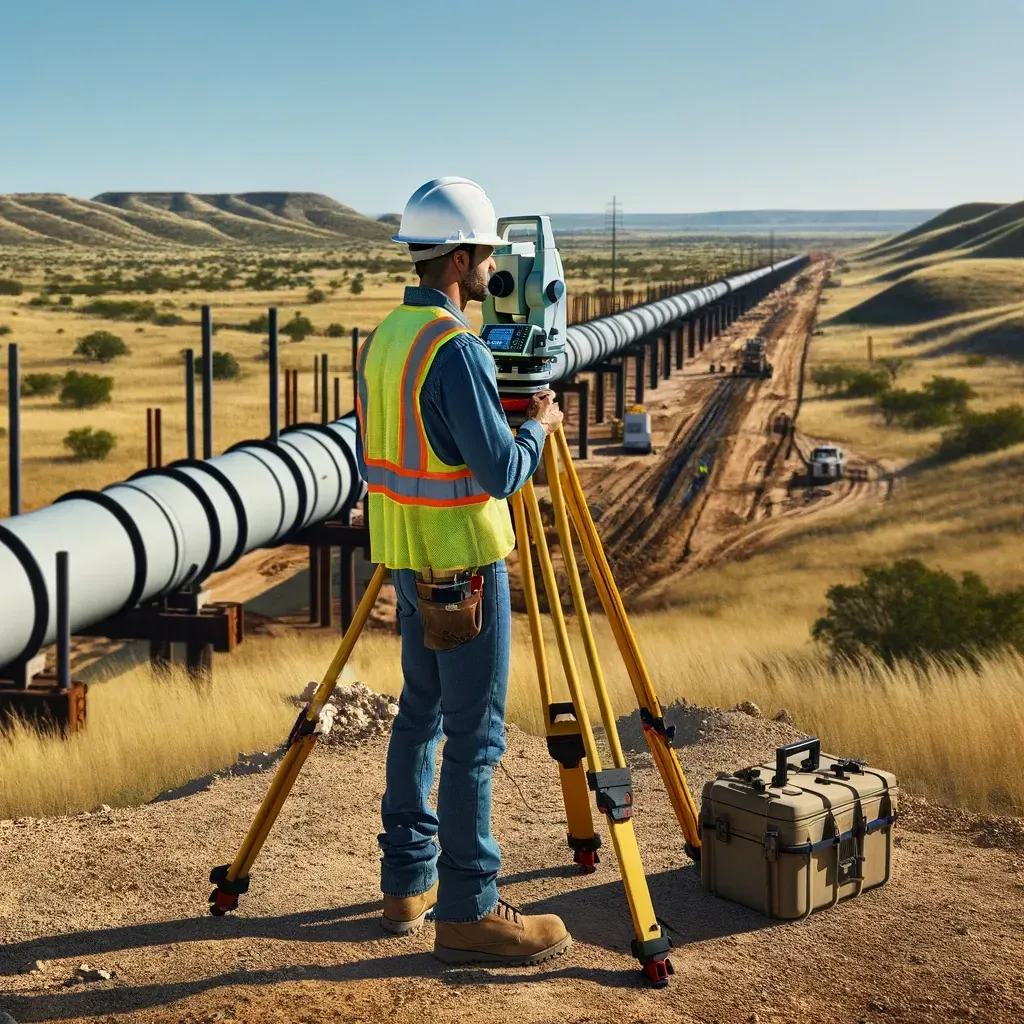
Land Surveys and Public Safety in Texas Infrastructure
"Texas, often referred to as the Lone Star State, is a thriving hub for economic growth and innovation, making it an attractive destination for commercial real estate investment." - Chris Evans
How Land Surveys Strengthen Public Safety and Infrastructure Resilience in Texas
Texas is home to some of the nation’s most ambitious infrastructure projects — from urban highway networks to massive utility grids. But behind every safe bridge, roadway, and drainage system lies one crucial step: accurate land surveying.
Surveyors provide the geospatial data that ensures infrastructure isn’t just efficient — it’s safe.
Here’s how land surveys help protect public safety and strengthen resilience across Texas communities.
1. The Connection Between Surveying and Public Safety
Public infrastructure depends on precise measurement and mapping. A small surveying error can cascade into structural instability or public risk.
Surveyors protect communities by:
Verifying foundation elevations for roads and bridges.
Mapping drainage paths to prevent flood hazards.
Confirming right-of-way boundaries for utilities and transportation.
Result: Safer construction, fewer design conflicts, and longer-lasting infrastructure.
2. Reducing Flood Risk Through Accurate Elevation Data
Flooding remains one of Texas’s top public safety threats. Elevation and topographic surveys help engineers design drainage and stormwater systems that direct runoff safely.
Why it matters:
Keeps developments out of flood-prone areas.
Helps cities qualify for FEMA and TxDOT funding.
Protects homes, schools, and businesses from catastrophic damage.
3. Supporting Emergency Management Planning
Survey data is critical during disaster response and recovery.
Applications include:
Mapping evacuation routes.
Locating critical utilities.
Assessing structural movement after natural disasters.
By documenting accurate terrain and infrastructure data, surveyors help first responders act faster and safer.
4. Identifying Structural and Soil Vulnerabilities
Surveying supports geotechnical and structural assessments by pinpointing shifts in ground elevation or foundation settlement over time.
Why it matters:
Detects potential failure before it becomes catastrophic.
Assists in bridge and levee maintenance planning.
Supports ongoing safety inspections.
5. Enabling Resilient Design for Future Growth
Surveyors collaborate with engineers and urban planners to design infrastructure capable of withstanding population growth and climate shifts.
Key survey types:
Boundary and easement mapping for expansion.
Topographic surveys for flood modeling.
As-built documentation for maintenance tracking.
6. Public Projects that Depend on Surveying
From school campuses to highway overpasses, every public project in Texas starts with a certified survey.
Examples include:
Highway expansions requiring precise ROW surveys.
Utility relocations for water and power lines.
Airport and port redevelopment projects with FAA and DOT oversight.
Public safety begins with precision.
By providing the accurate data that supports safe, compliant, and resilient infrastructure, South Texas Surveying helps Texas communities grow stronger — one project at a time.

Delivering Land Surveys with Attention to Detail
George Owens
Commercial Broker

I have worked with many surveying companies, but South Texas Surveying stands out for their exceptional professionalism, attention to detail, and commitment to their clients.
Kim Wexler
Project Manager
Their accurate and thorough surveys make my job a lot easier, their ability to communicate effectively with all parties involved is commendable. I highly recommend South Texas Surveying.
James Cart
Homeowner
As a new homeowner, I was thoroughly impressed with the professional service provided by South Texas Surveying. I high recommend their services to any one buying a home in Houston.
Contact Us
Email: [email protected]
Office Address: 11281 Richmond Ave
BLDG J, Suite 101,
Houston, TX 77082
Office Hours: Mon – Fri 8:00am – 5:00pm
Office Phone Number: 281-556-6918
11281 Richmond Ave
BLDG J, Suite 101,
Houston, TX 77082
Firm Number: 10045400
Resources
© Copyright 2024 South Texas Surveying Associates