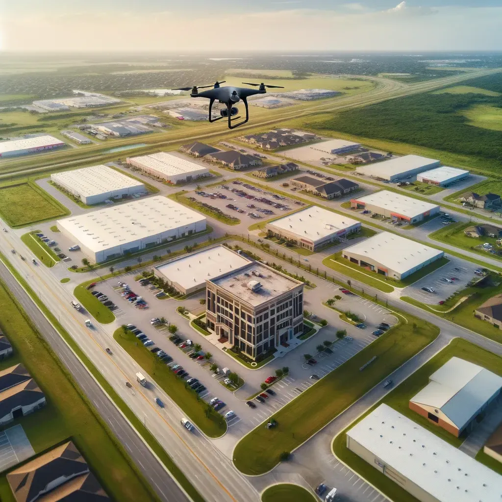
"Texas, often referred to as the Lone Star State, is a thriving hub for economic growth and innovation, making it an attractive destination for commercial real estate investment." - Chris Evans
In Houston’s booming commercial real estate market, every project depends on accurate site information. Whether it’s a warehouse in Baytown, a retail center in Katy, or an office building in Downtown, one factor is critical: how the land lies.
That’s where topographic surveys come in. Unlike boundary or ALTA surveys, which focus on ownership and legal descriptions, topographic surveys provide detailed elevation and contour data. They uncover problems that could otherwise remain hidden until construction begins — when fixes are far more expensive.
Here are five hidden problems only topographic surveys reveal in Houston.
Problem #1: Poor Drainage and Flood Risks
The Risk
Houston’s flat terrain and frequent storms make drainage design a challenge. Without topographic data, engineers can’t plan detention ponds, storm sewers, or grading accurately.
The Fix
Topographic surveys provide detailed contour maps, showing how water flows across the property. This helps engineers design systems to handle stormwater and reduce flood risk.
Why It Matters: Prevents costly redesigns and ensures compliance with city and FEMA standards.
Problem #2: Elevation Changes That Affect Construction
The Risk
Even seemingly flat parcels may have subtle elevation changes that complicate building foundations, parking lots, or roadways.
The Fix
Topographic surveys capture precise elevation points across the property, identifying grade differences that could impact construction plans.
Why It Matters: Saves money by avoiding excavation surprises during site work.
Problem #3: Hidden Utility and Infrastructure Conflicts
The Risk
Commercial projects often require integration with existing roads, drainage ditches, or utility lines. Without a topo survey, conflicts may arise during construction.
The Fix
Topographic surveys locate above-ground features like manholes, utility boxes, and drainage ditches that impact site design.
Why It Matters: Prevents mid-project redesigns and costly delays.
Problem #4: Non-Buildable Areas of the Property
The Risk
Not all land is suitable for development. Floodways, steep slopes, and drainage corridors can render parts of a site unbuildable.
The Fix
Topo surveys show which portions of the property are viable for building and which should be reserved for drainage or easements.
Why It Matters: Helps buyers avoid overpaying for unusable acreage.
Problem #5: Inaccurate Cut-and-Fill Estimates
The Risk
Site grading and earthwork are major construction expenses. Without accurate elevation data, developers can underestimate cut-and-fill requirements.
The Fix
Topographic surveys provide the baseline data engineers use to calculate precise earthwork needs.
Why It Matters: Prevents budget overruns and keeps construction schedules realistic.
Why Topographic Surveys Are Essential in Houston
Houston’s development patterns make topo surveys particularly important:
Flood-prone land near bayous and detention ponds.
Industrial expansion along the Ship Channel requiring heavy drainage planning.
Suburban growth in Katy, Conroe, and Sugar Land with constant regrading.
Urban infill projects where small elevation changes have big impacts.
The Cost of Skipping a Topographic Survey
Developers who skip topo surveys risk:
Costly drainage redesigns.
Construction delays from grading surprises.
Higher insurance premiums.
Reduced usable acreage.
Loss of investor confidence.
Compared to these risks, topo surveys are a small but vital investment.
The Future of Topographic Surveys in Houston
Drone LiDAR mapping for fast, accurate elevation data.
3D site modeling integrated with engineering software.
GIS systems combining topo data with zoning and floodplain maps.
AI-based water flow simulations predicting drainage patterns beyond FEMA maps.
These innovations are making topo surveys faster, more accurate, and more valuable than ever.
Topographic surveys uncover problems that can make or break a commercial project in Houston. From drainage and elevation issues to utility conflicts and unusable land, these surveys provide the insight developers and investors need to protect their investments.
For anyone planning a commercial project in Houston, the rule is clear: don’t break ground without a topographic survey.


