Surveying Texas Since 1980 Family Owned, Customer Devoted | Firm #10045400 | 281-556-6918

See Our Latest Blogs
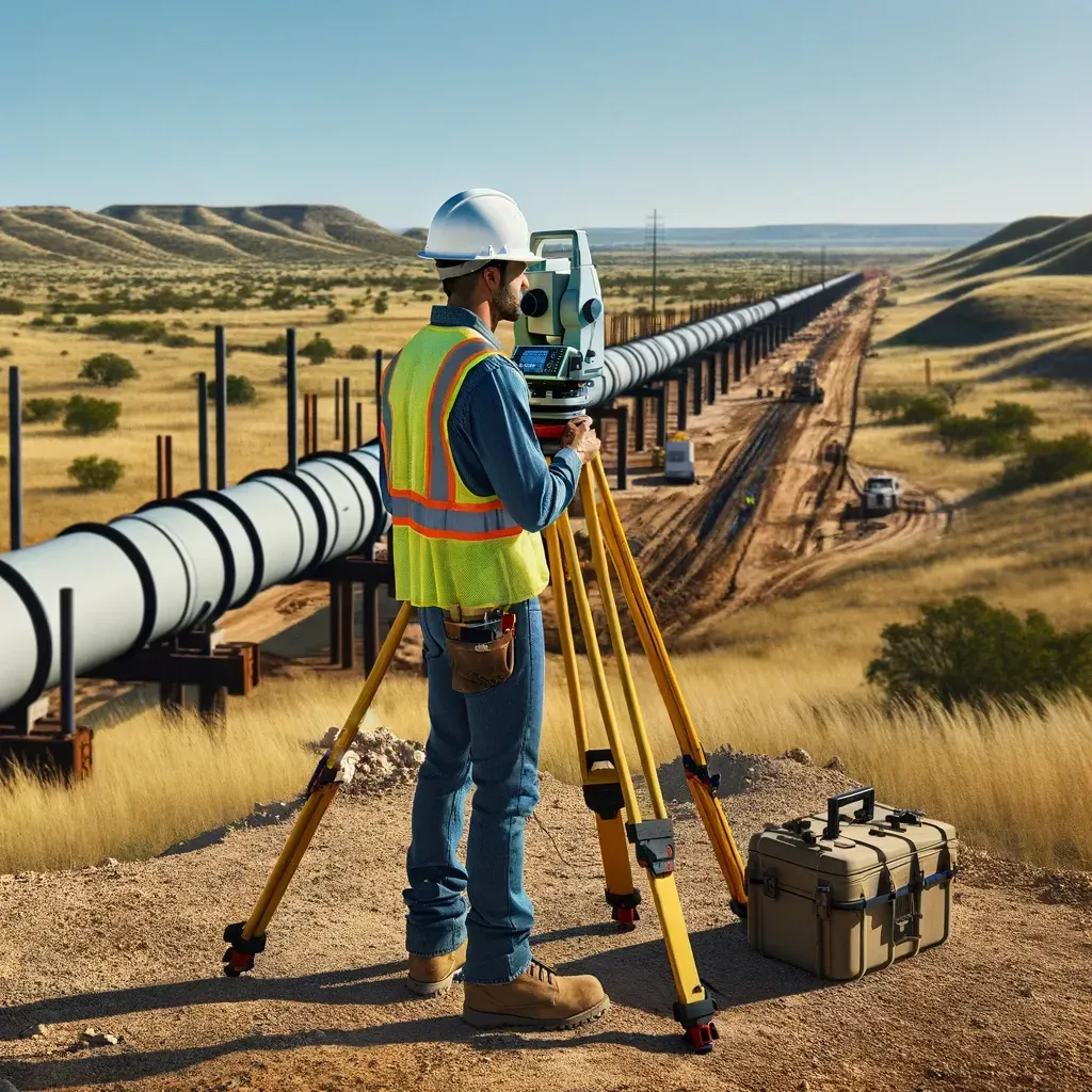
Renewable Energy Surveys in Texas
"Texas, often referred to as the Lone Star State, is a thriving hub for economic growth and innovation, making it an attractive destination for commercial real estate investment." - Chris Evans
Renewable Energy Site Surveys: Powering Texas’s Sustainable Future
Texas is not only the nation’s energy capital for oil and gas — it’s also a leader in renewable energy. The Lone Star State ranks #1 in wind power production and is rapidly expanding its solar and battery storage capacity. But before a single turbine is installed or solar panel field is built, developers need precise data about the land.
That’s where renewable energy site surveys come in. These specialized surveys provide the mapping, boundary, and topographic data needed to design, finance, and construct renewable energy projects safely and efficiently.
In this blog, we’ll explore what renewable energy site surveys are, why they matter, how they’re performed, and why they’re shaping the future of Texas’s commercial real estate and energy landscape.
What Is a Renewable Energy Site Survey?
A renewable energy site survey is a land survey tailored to the needs of wind farms, solar installations, and battery storage facilities.
These surveys typically include:
Boundary surveys – defining property ownership and easements.
Topographic surveys – mapping terrain and elevations.
Utility and access surveys – locating existing and planned infrastructure.
Environmental considerations – wetlands, floodplains, and sensitive habitats.
Construction staking – guiding placement of turbines, panels, and storage units.
Why Renewable Energy Surveys Matter
1. Site Selection and Feasibility
Surveys provide the baseline data needed to determine whether land is suitable for wind or solar projects.
2. Boundary Accuracy
With projects spanning hundreds or thousands of acres, clear property limits and easements are essential.
3. Engineering Design Support
Topography and soil conditions shape turbine placement, panel orientation, and grading.
4. Utility Connection Planning
Surveys identify the best routes for transmission lines and interconnection with the power grid.
5. Financing and Compliance
Lenders and regulators require survey documentation to approve financing and permits.
The Renewable Energy Survey Process
Step 1: Preliminary Research
Surveyors review deeds, easements, environmental restrictions, and FEMA maps.
Step 2: Field Data Collection
Using drones, LiDAR, GPS, and ground crews, surveyors collect boundary and topographic data.
Step 3: Environmental Mapping
Wetlands, floodplains, and sensitive habitats are identified to guide compliance.
Step 4: Design Integration
Survey results are overlaid with engineering plans for turbine, solar array, or storage placement.
Step 5: Construction and Monitoring
Surveyors stake locations and provide monitoring throughout construction.
Technology in Renewable Energy Surveys
Drone LiDAR for large-scale topographic mapping.
GIS platforms for integrating survey data with energy production models.
3D terrain modeling for optimal solar panel angles.
Automated monitoring sensors to track ground settlement or panel alignment.
GPS/GNSS receivers for precision turbine placement.
Common Issues Identified in Renewable Energy Surveys
Boundary disputes across large tracts of rural land.
Floodplain encroachment affecting solar farms.
Soil conditions unsuitable for turbine foundations.
Easement conflicts with pipelines, utilities, or rights-of-way.
Environmental restrictions delaying permitting.
Renewable Energy Surveys vs. Other Commercial Surveys
Boundary Surveys – Provide ownership clarity but not project-scale design data.
Topographic Surveys – Capture terrain but not grid or utility connections.
Environmental Surveys – Identify risks but not construction guidance.
Renewable Energy Surveys – Integrate all of these into one comprehensive framework.
Renewable Energy Projects in Texas
Texas is at the forefront of renewable energy growth:
Wind power – West Texas and the Panhandle are home to some of the largest wind farms in the world.
Solar projects – Expanding rapidly in Central and South Texas, supplying energy to cities and industrial users.
Battery storage – Growing in Houston and Dallas to stabilize the grid.
All of these projects rely on detailed surveys to move from concept to reality.
Cost of Renewable Energy Site Surveys
Costs vary based on:
Size of the project area.
Technology used (ground-based vs. drone LiDAR).
Environmental and permitting requirements.
Frequency of monitoring during construction.
Projects covering hundreds of acres often require significant surveying investments — but those costs are small compared to the billions in infrastructure value.
Why Developers Should Prioritize Renewable Energy Surveys
Avoid costly disputes and delays.
Provide lenders and investors with data-backed confidence.
Ensure compliance with federal, state, and local permitting.
Support safe, efficient construction and long-term operations.
The Future of Renewable Energy Surveys
AI-powered solar array optimization.
Digital twins of wind and solar farms for real-time monitoring.
Integration with smart grids to maximize energy efficiency.
Autonomous drone surveys for ongoing inspection and maintenance.
Renewable energy site surveys are the blueprints of Texas’s clean energy future. They ensure that wind farms, solar fields, and battery facilities are built safely, legally, and efficiently.
For developers, investors, and municipalities, these surveys are more than a regulatory requirement — they’re a strategic tool for building sustainable energy infrastructure. In Texas, where renewable energy is booming, site surveys are the foundation of the next era of growth.

Delivering Land Surveys with Attention to Detail
George Owens
Commercial Broker

I have worked with many surveying companies, but South Texas Surveying stands out for their exceptional professionalism, attention to detail, and commitment to their clients.
Kim Wexler
Project Manager
Their accurate and thorough surveys make my job a lot easier, their ability to communicate effectively with all parties involved is commendable. I highly recommend South Texas Surveying.
James Cart
Homeowner
As a new homeowner, I was thoroughly impressed with the professional service provided by South Texas Surveying. I high recommend their services to any one buying a home in Houston.
Contact Us
Email: [email protected]
Office Address: 11281 Richmond Ave
BLDG J, Suite 101,
Houston, TX 77082
Office Hours: Mon – Fri 8:00am – 5:00pm
Office Phone Number: 281-556-6918
11281 Richmond Ave
BLDG J, Suite 101,
Houston, TX 77082
Firm Number: 10045400
Resources
© Copyright 2024 South Texas Surveying Associates